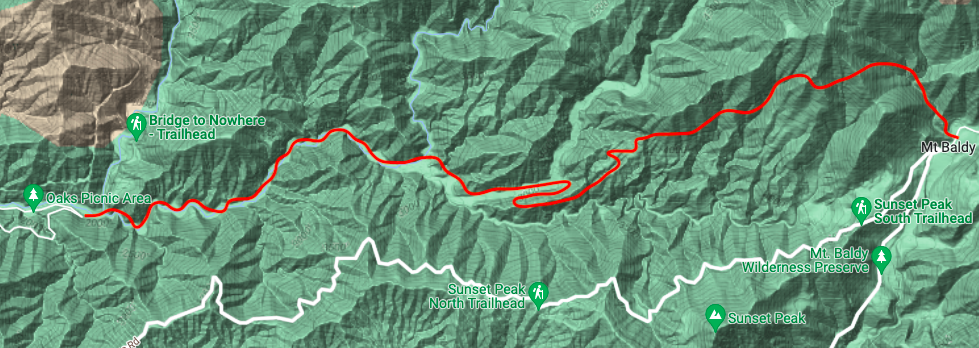
It’s been one week since my dad (Leo Kesting, 63yo) and twin sister (Helen Kesting, 26yo) finished our beautiful trip down the entire length of the Fish Fork and the experience is still fresh in my mind. The idea of this trip was born nearly 50 years earlier when this remote canyon sparked my dad’s curiosity. He grew up in the small nearby town of Mt. Baldy and these mountains were his playground. However, his trip at the time was cut short by his brother taking a slip on their way down the river. While most who venture into this canyon take the easier approach by starting at Lupine Campground to the north of the canyon, we aimed to see the entire river from its humble beginnings significantly higher than where the standard route meets with it. Although our trailhead was only an hour from Northeast Los Angeles, the Fish Fork begins several hiking hours away, up and over Mt. Baldy.
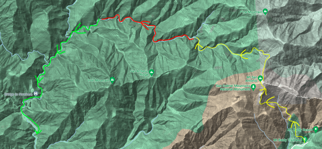
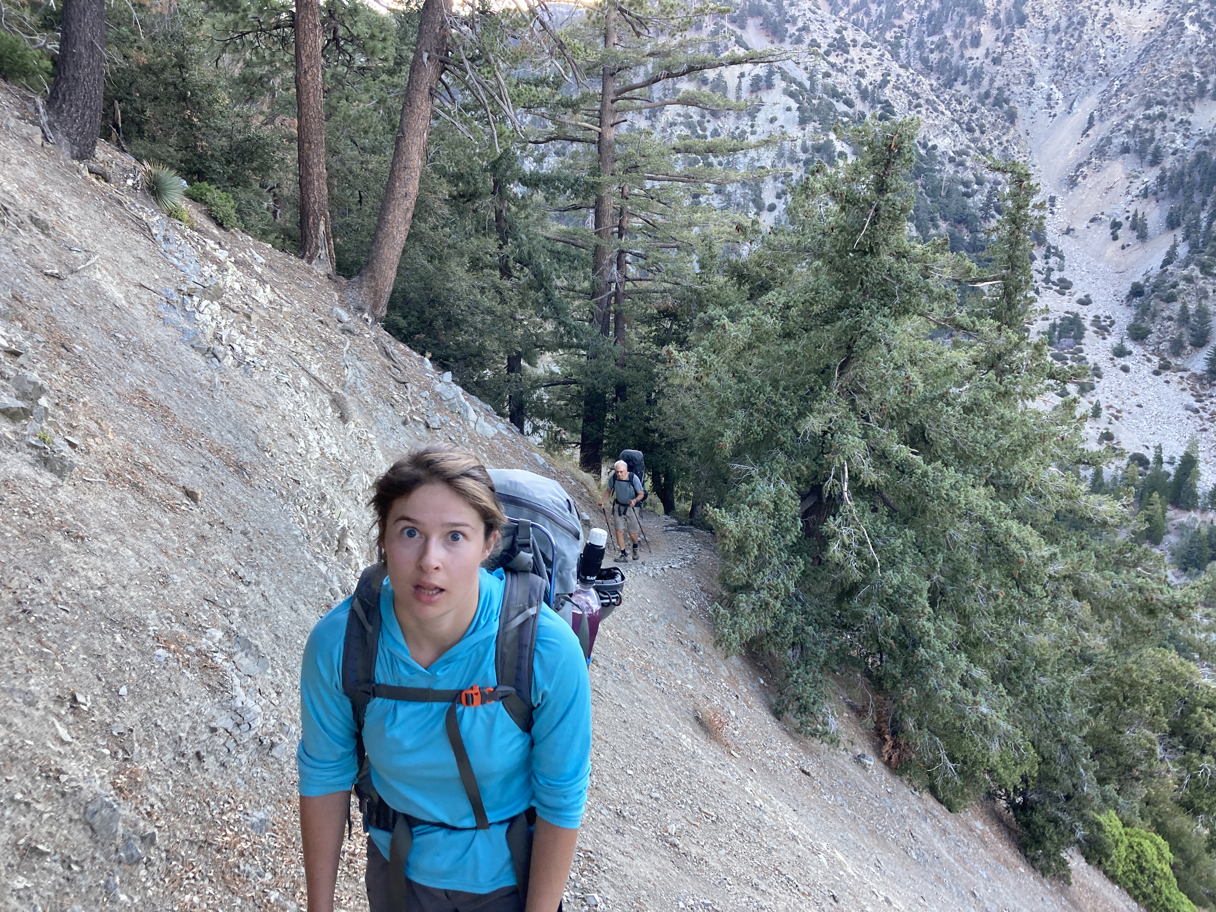
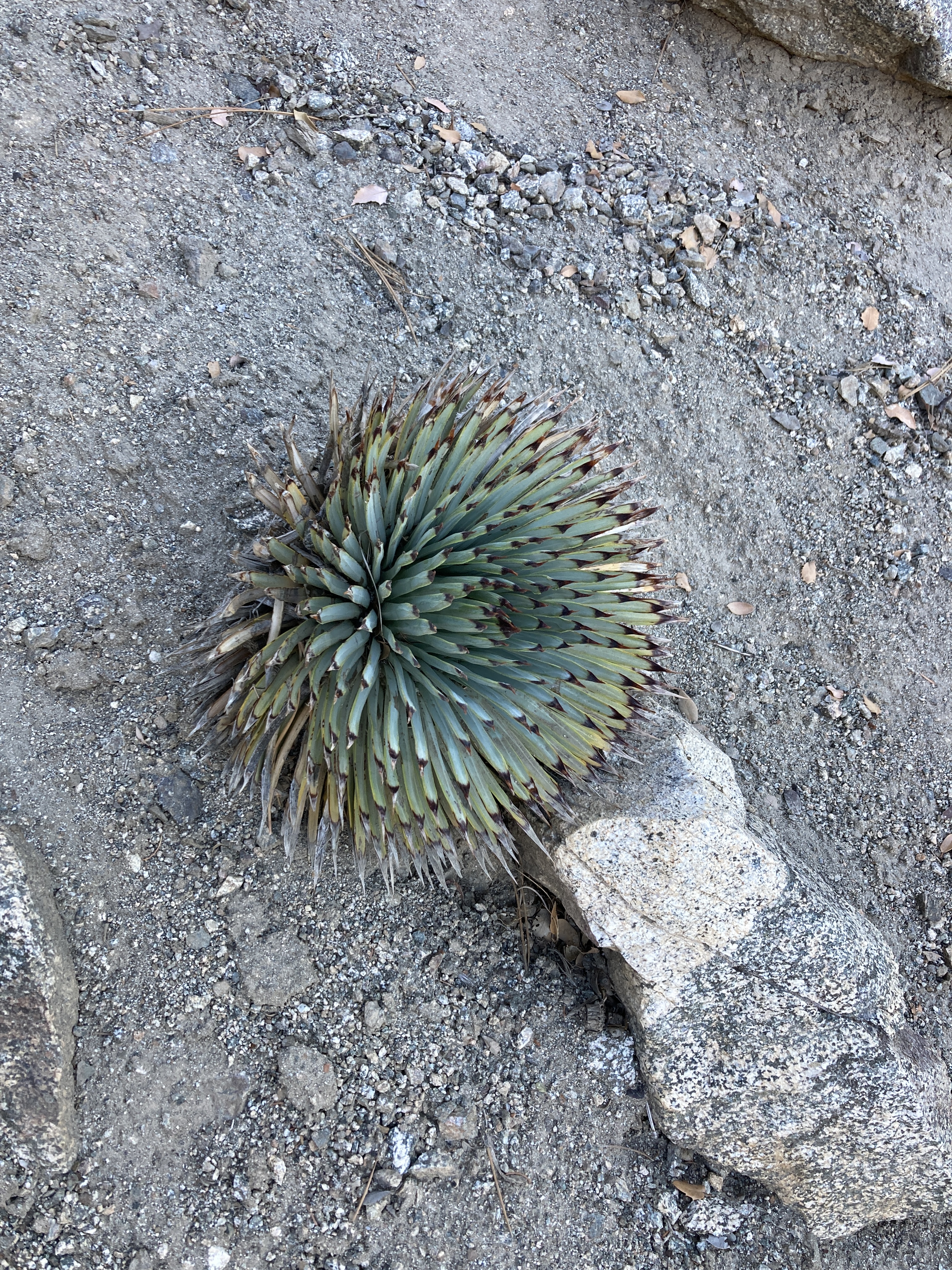
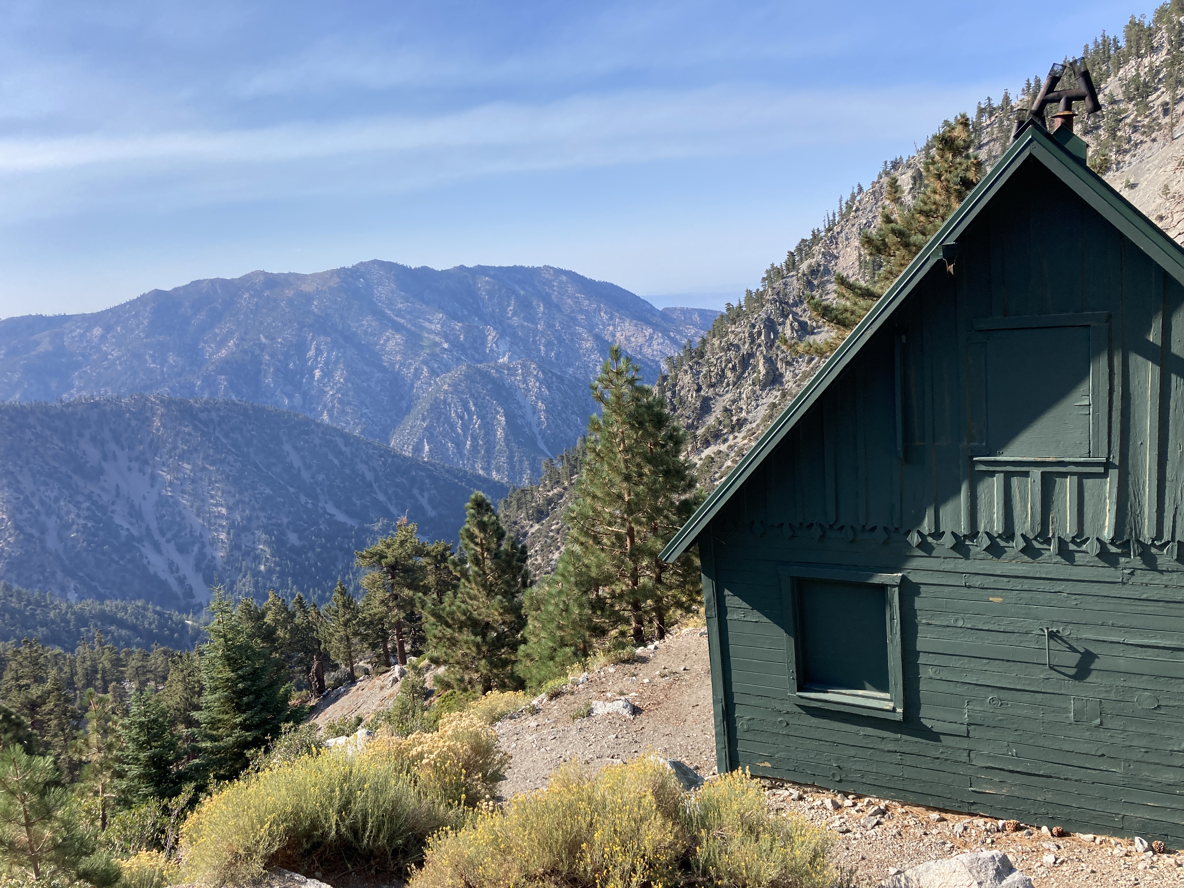
The night before, we slept just minutes from the trailhead at Manker Flats. We began our hiking around 7am on September 6th where I had been racing just the day before during the brutal Mt. Baldy Run-To-The-Top race (9th, 1:14). My legs felt it but the pace was relaxed as we strolled past the yuccas and eventually reached the Sierra Club Ski Hut. I was glad to have my trekking poles. We were happy to have an early start because it was starting to get toasty nearly 5 miles and 4000 feet later at the summit of Mt. Baldy despite its elevation of 10,068 ft.
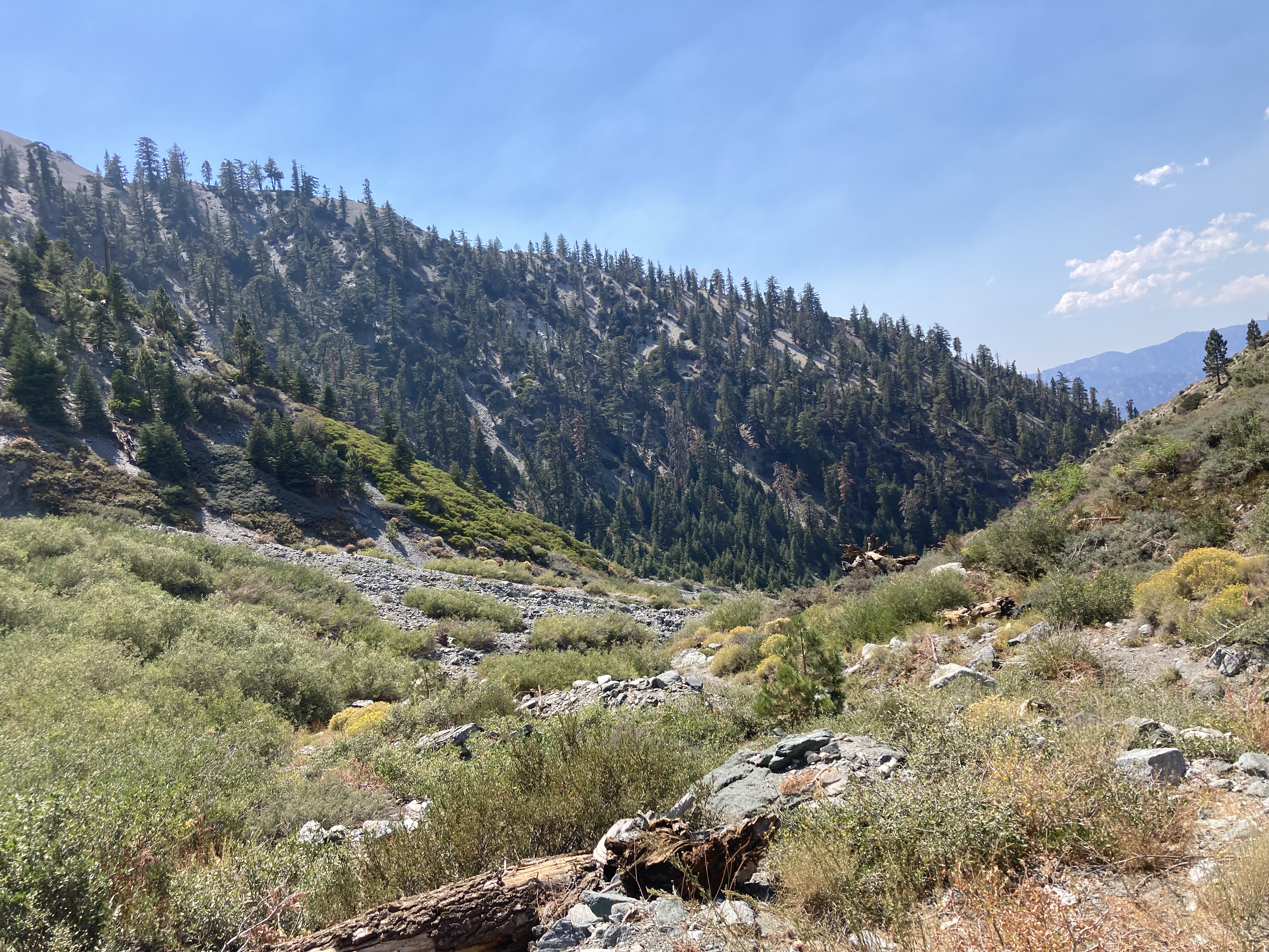
By noon we were eager for a lunch break of PB&J sandwiches at the saddle between Mt. Baldy and Dawson Peak at 8,800 ft. We couldn’t spot any water in the stream bed from here but were fairly certain we could see a faint line of water further down the canyon while on the summit the day before. After a shaded break, the journey continued. From here until our connection with the East Fork San Gabriel River over a vertical mile lower, we would be forming our own path as this canyon sees very little traffic from humans.
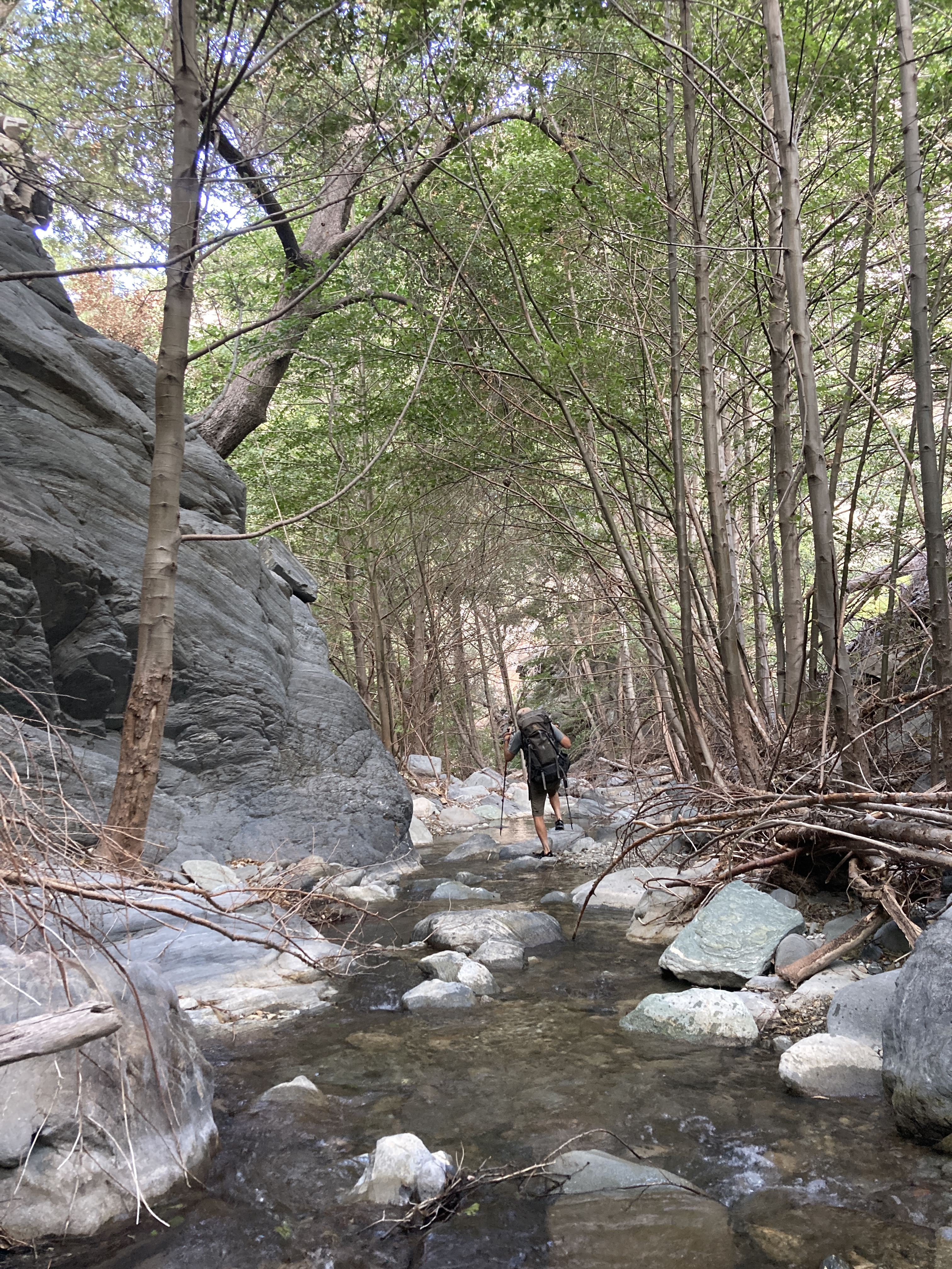
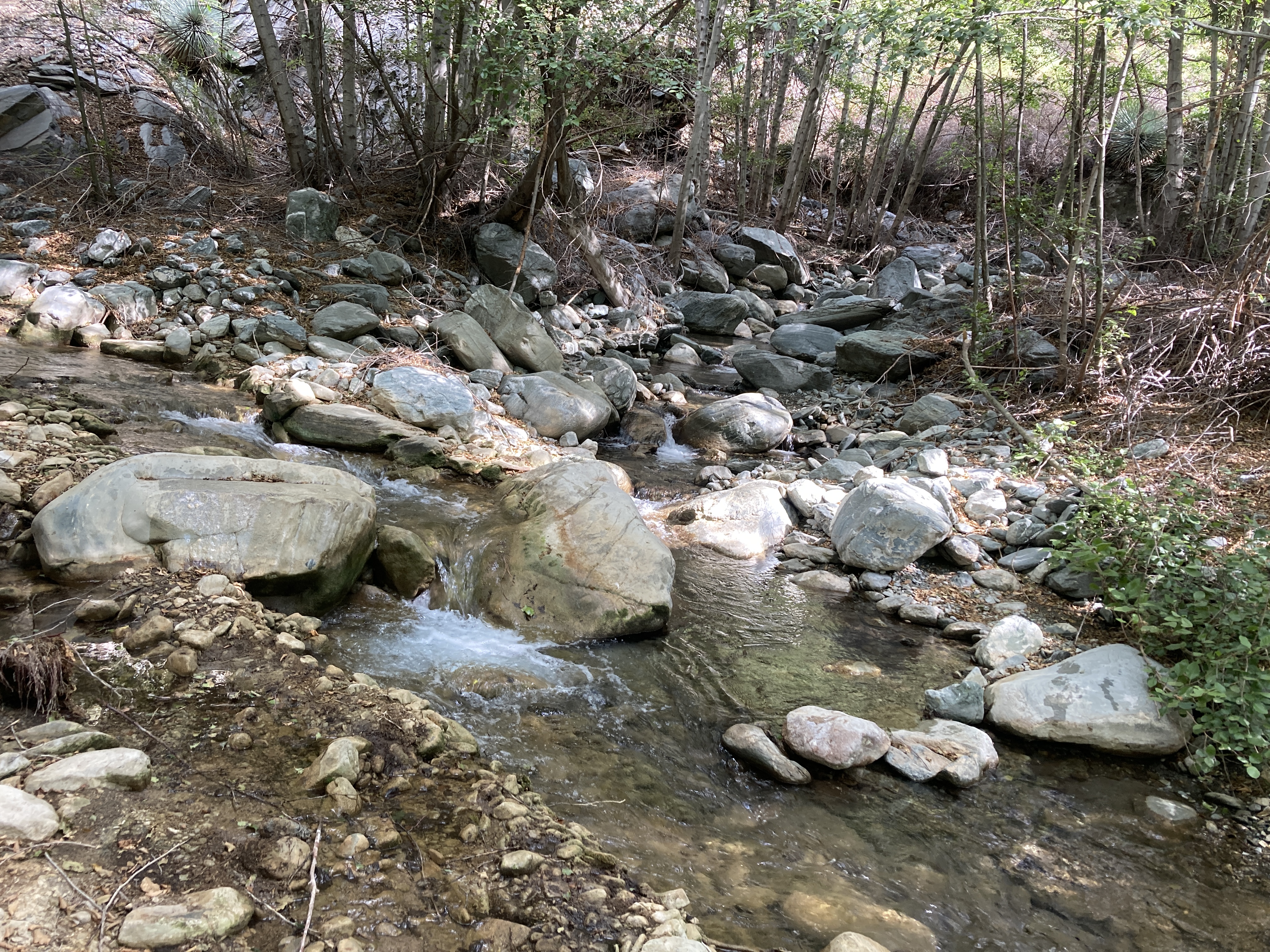
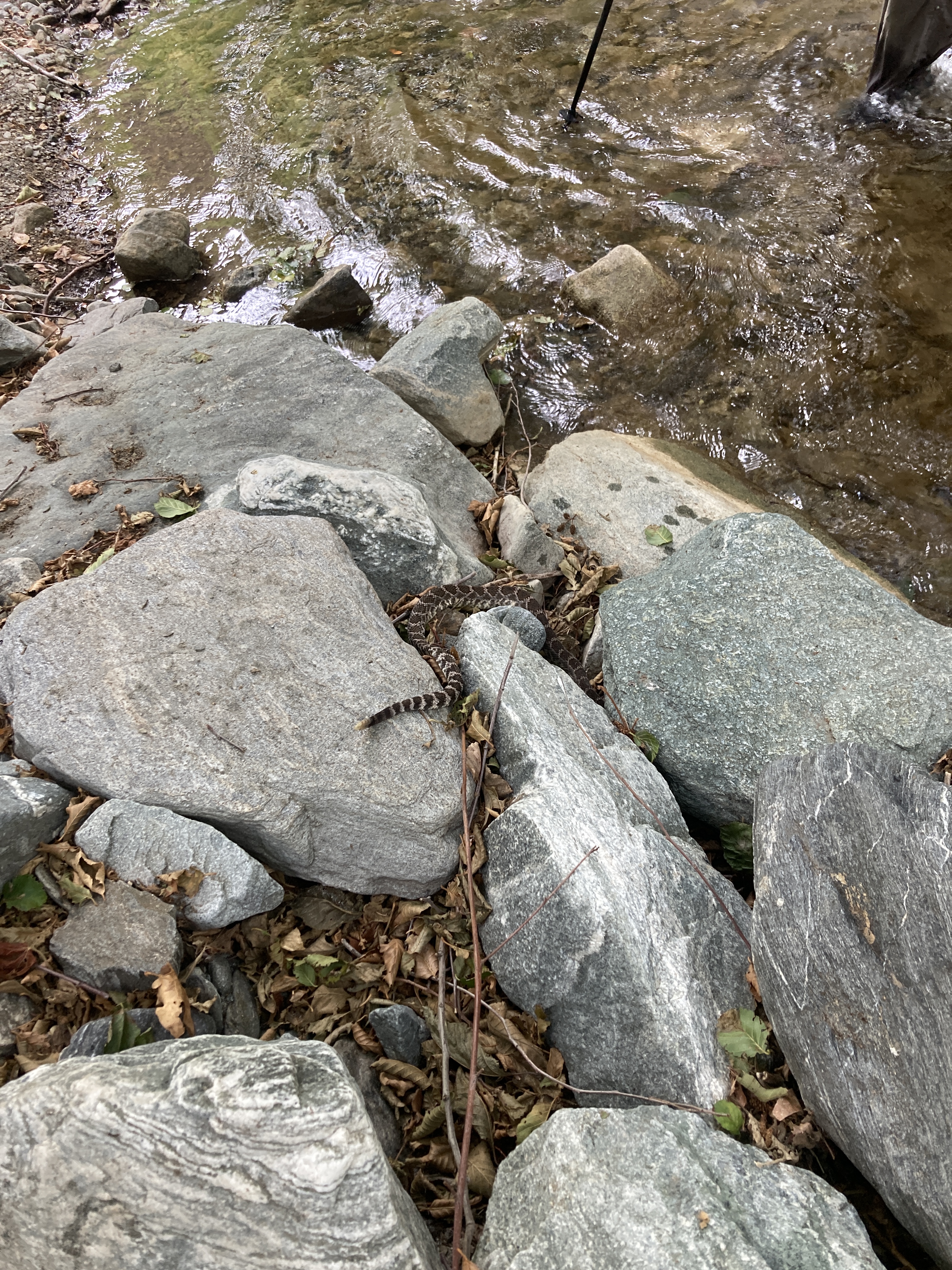
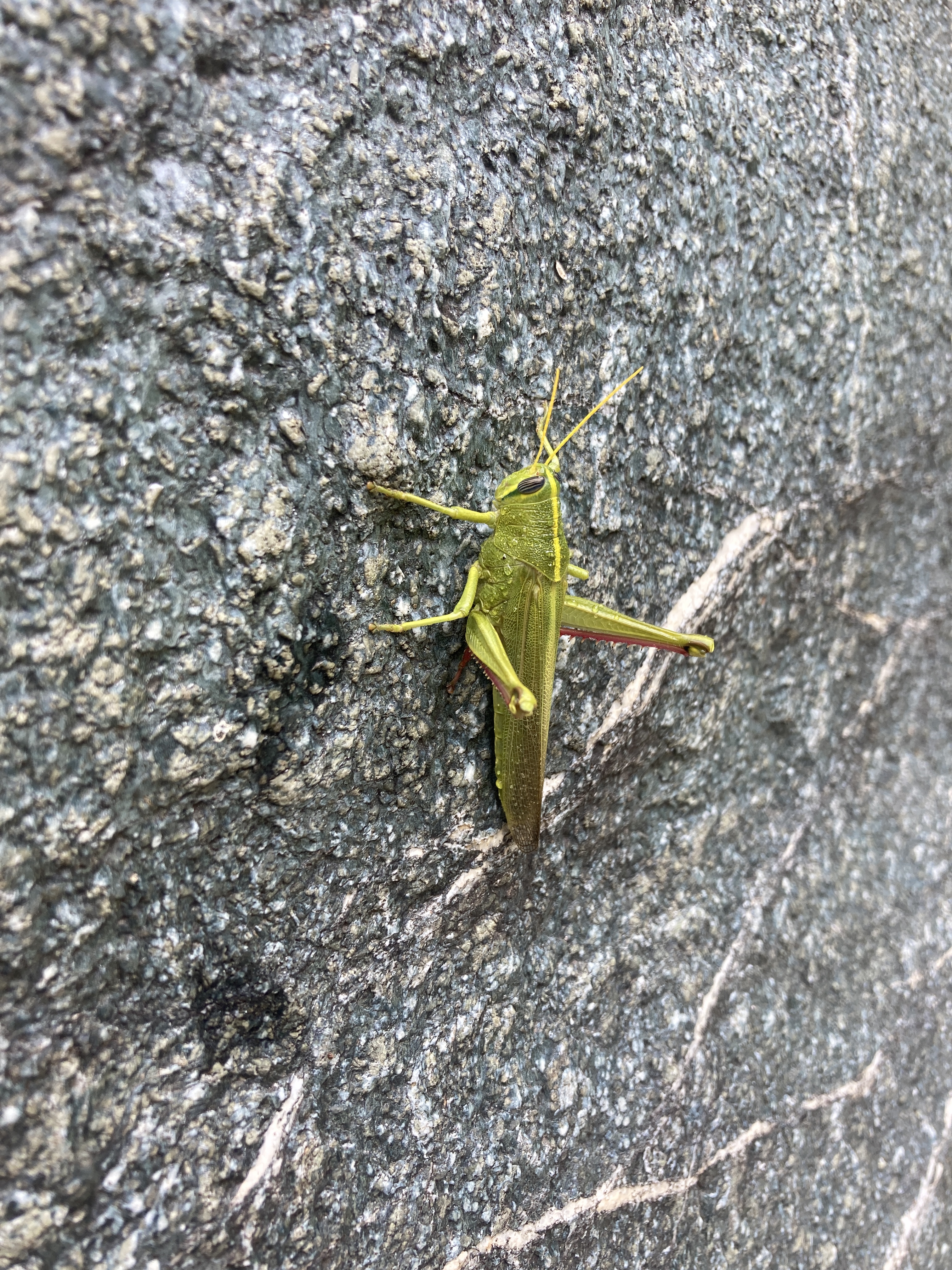
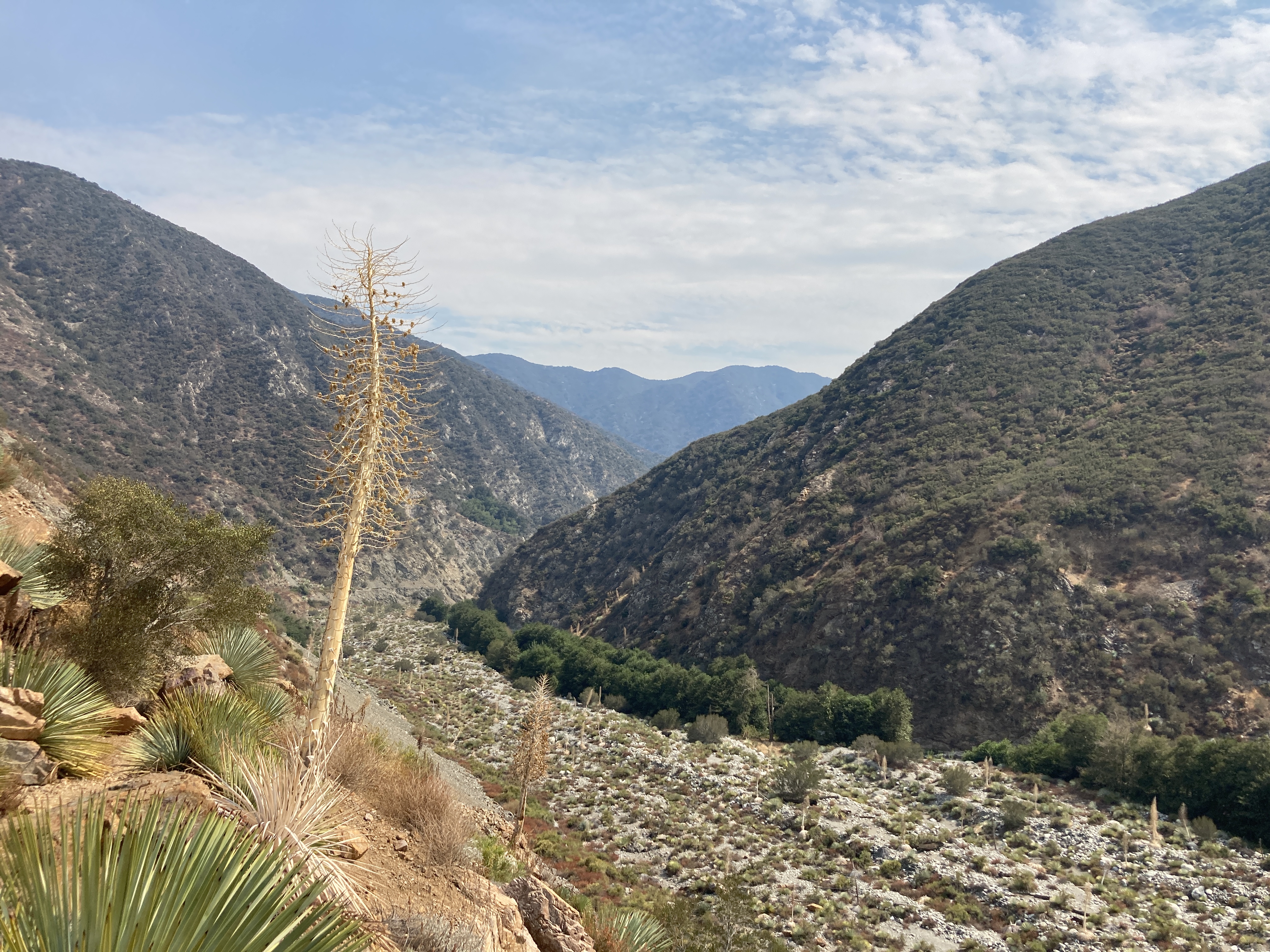
The day was nearing its hottest hour and still we could find no water. I drank the last of my blue gold and hoped more would be nearby. Once we got into the canyon where the river had previously run, some light bushwhacking was in order. Although trekking off-trail in Washington can be much denser, the California experience is much drier and pokier. It wasn’t much longer before I heard the unmistakable sound of a trickling stream (8100 ft). This was the small beginning of a creek that we would be within a stones throw for the next 48 hours. The Fish Fork was lacking in flow but the vibrant wildlife and flowers didn’t seem to mind.
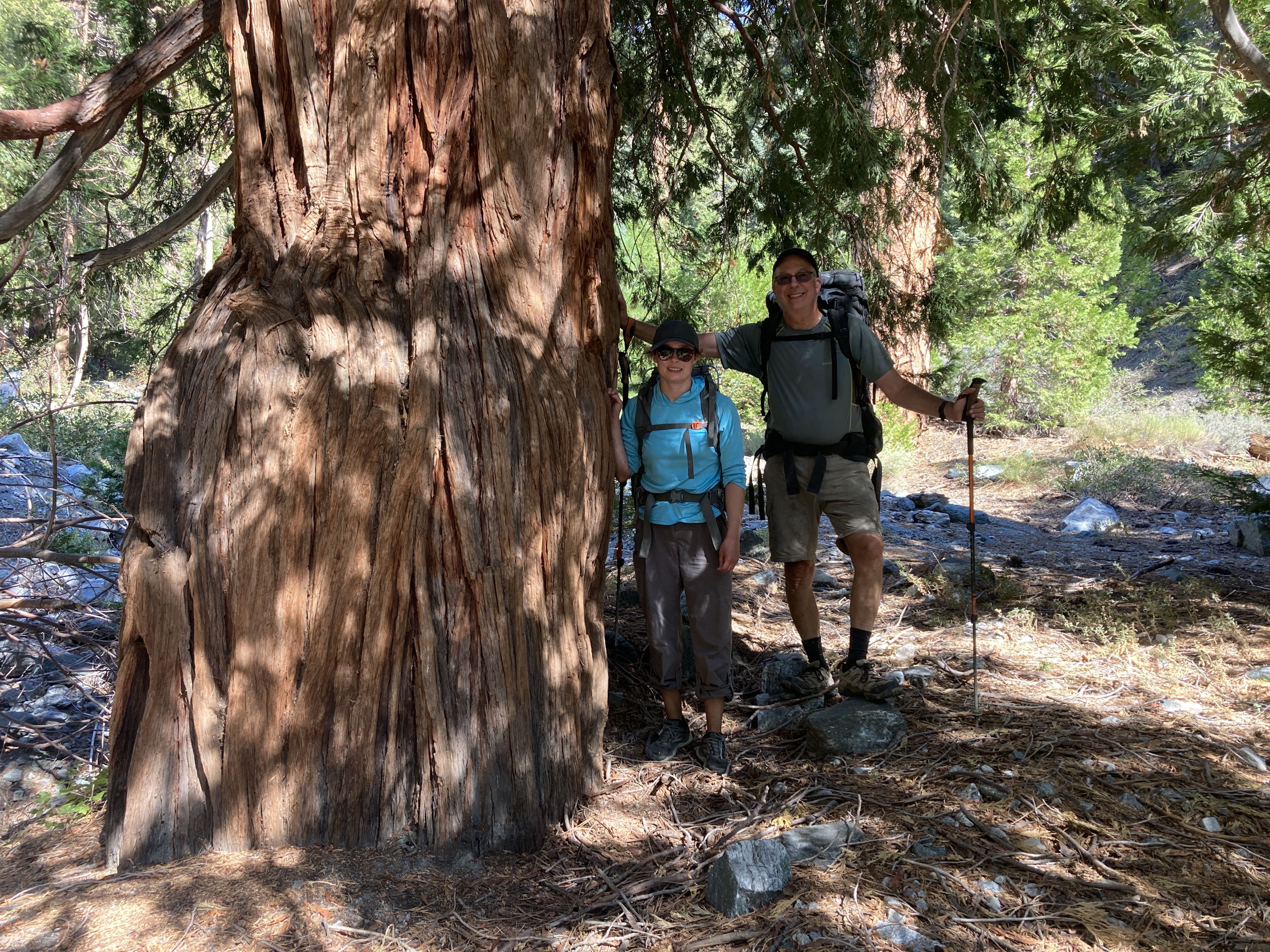
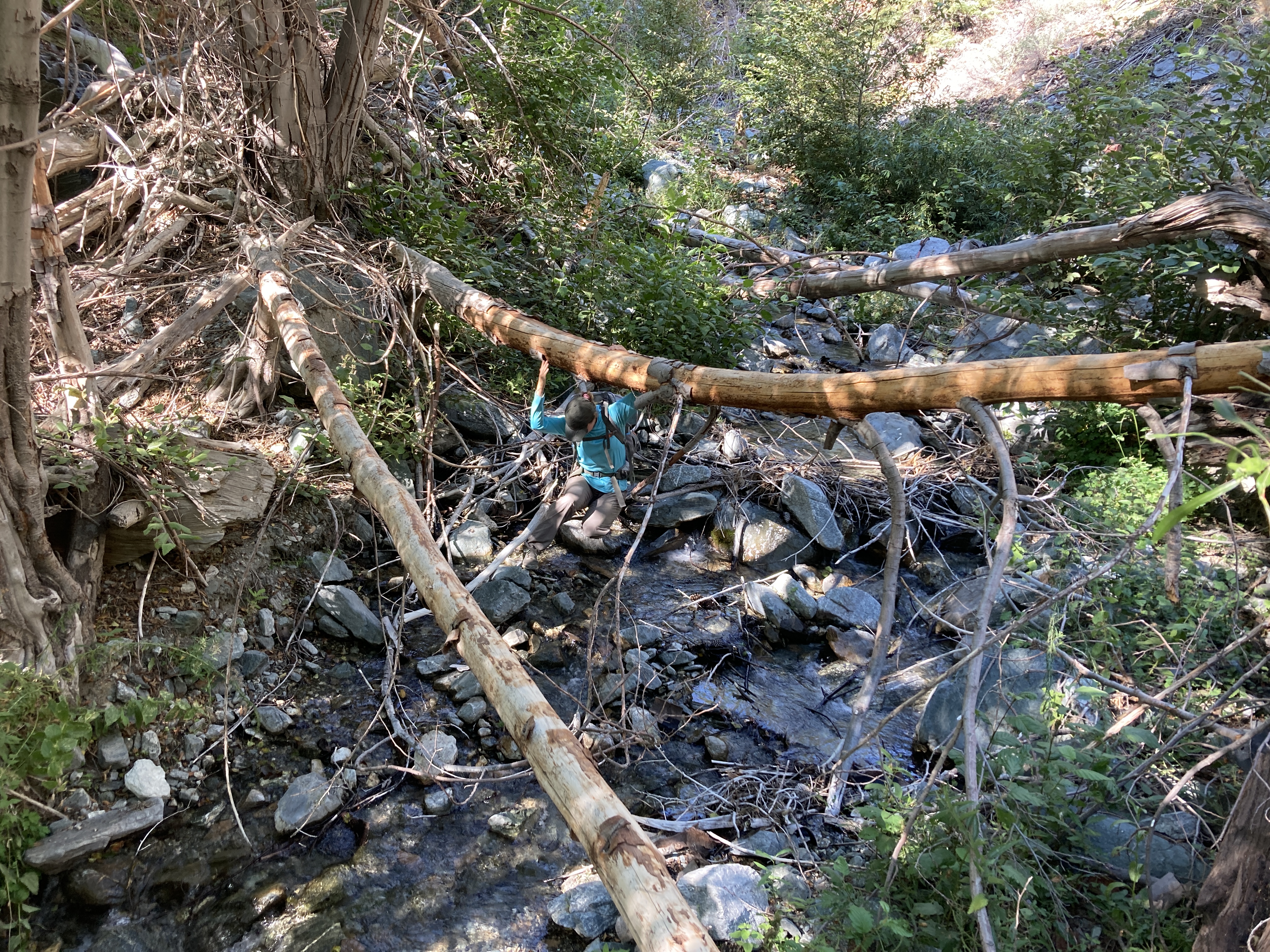
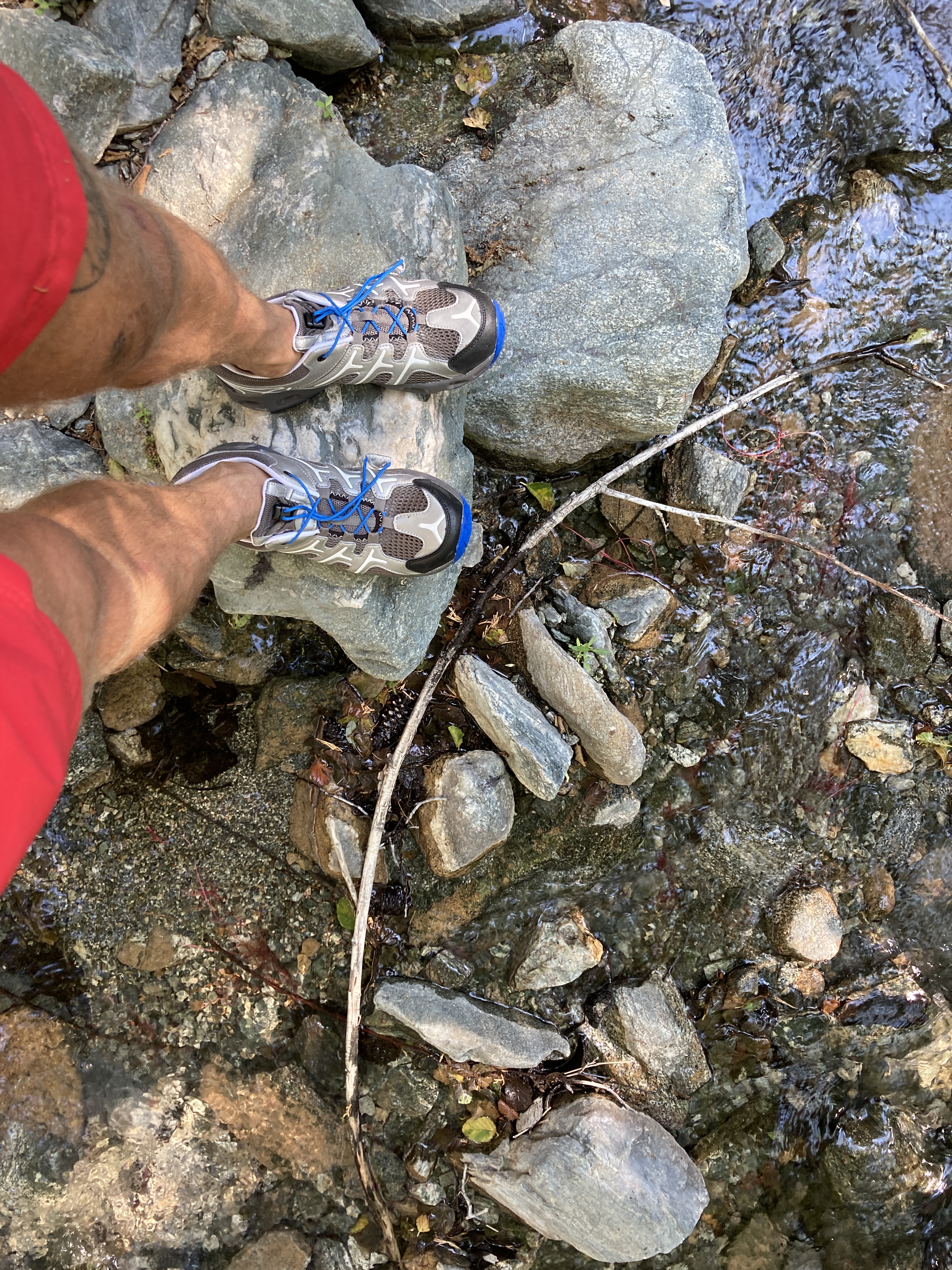
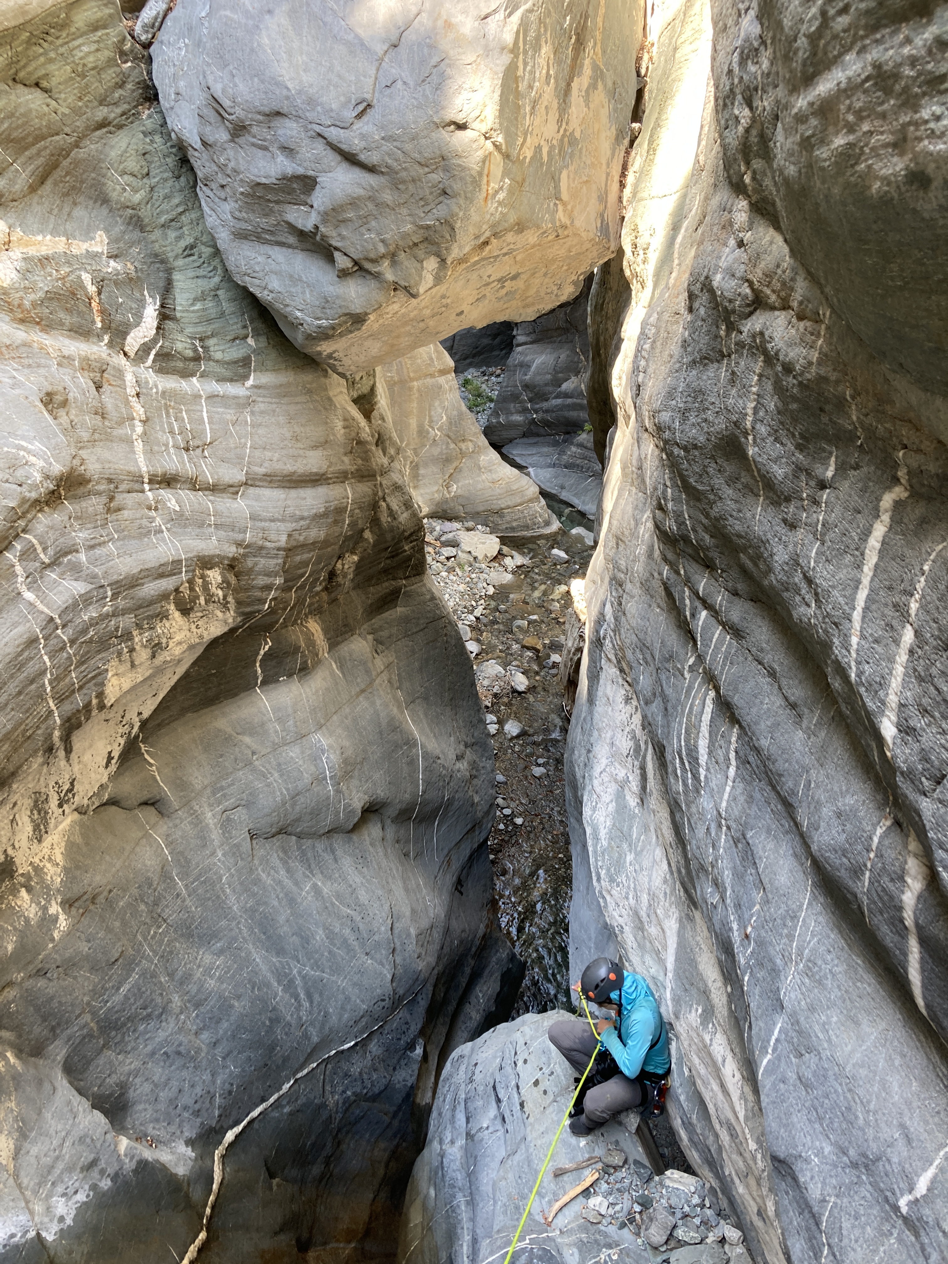
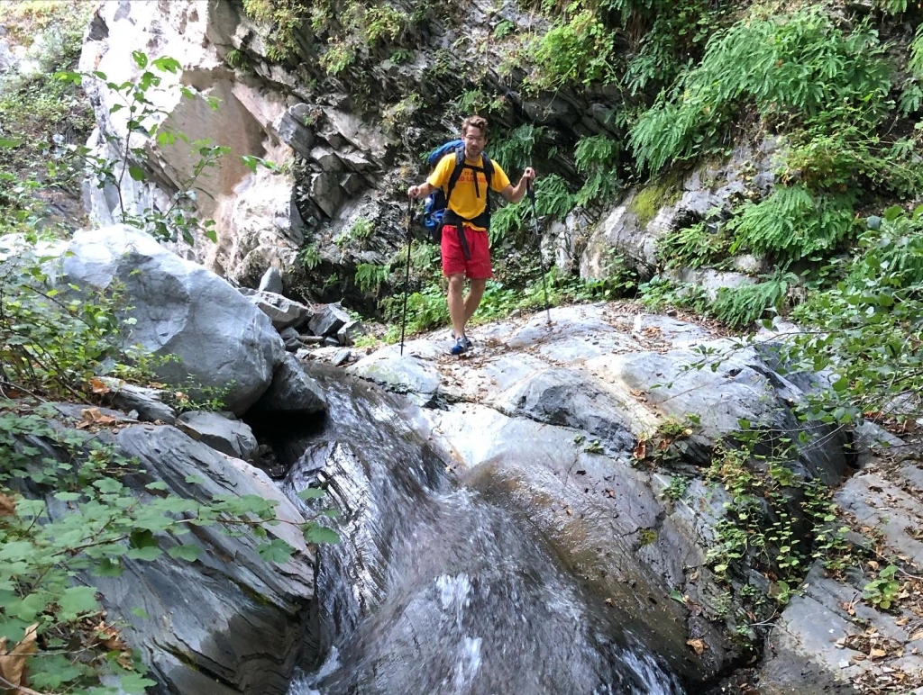
Further down the Fish Fork we became much more shaded as the canyon narrowed and the trees became larger. Some of these cedars were massive despite being in areas that have heavy flooding. We knew we had to move efficiently if we wanted to make it out in 3 days time and a constant challenge involved estimating how long various routes down the river would take. At times it was faster to mov up on the side of the canyon to avoid the mess of trees and branches that can get stuck in middle of the flow. Other times we were able to travel directly through the water which felt great in the hot air. I would highly recommend water shoes and save your dry hiking shoes for camp.
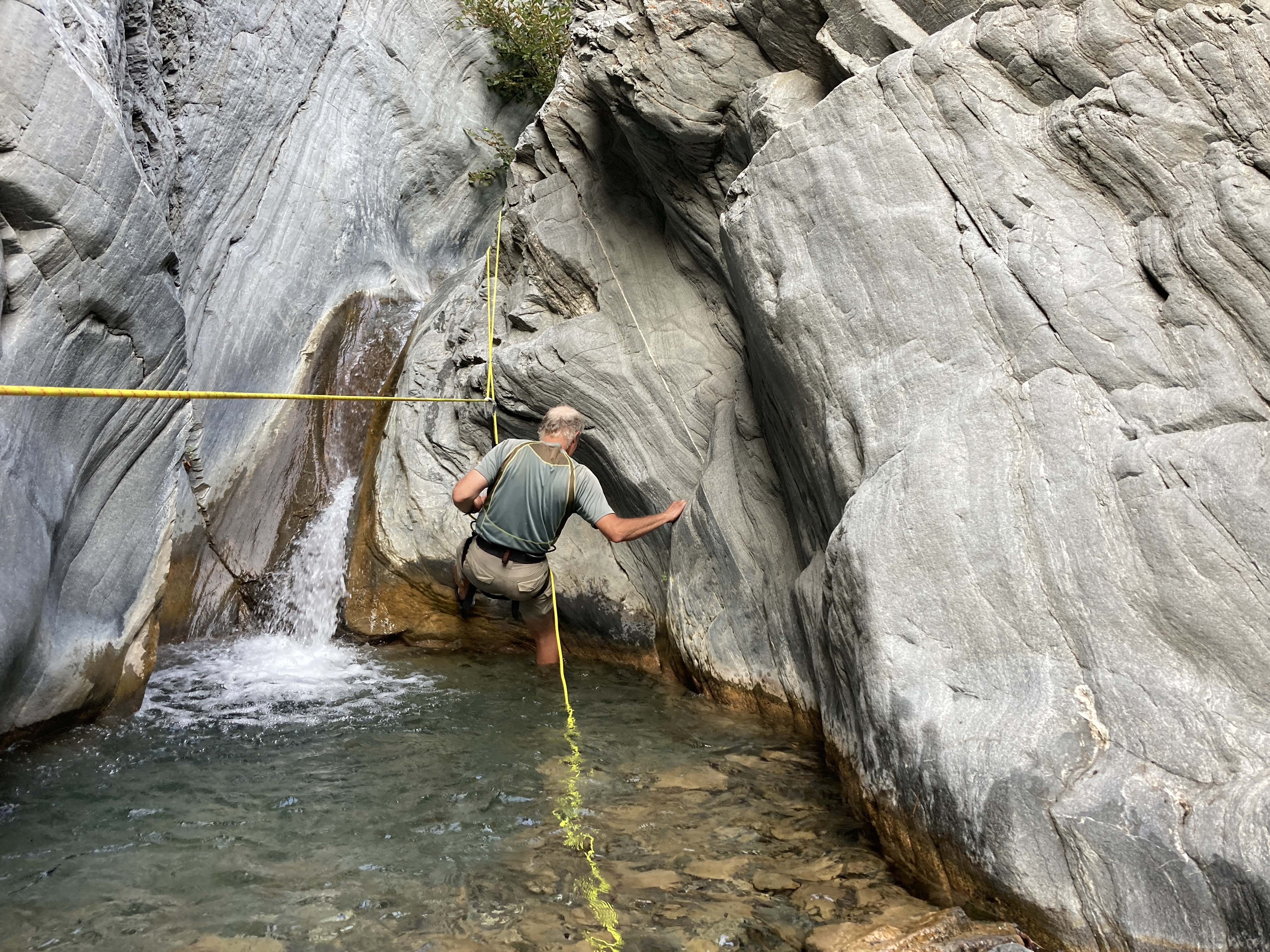
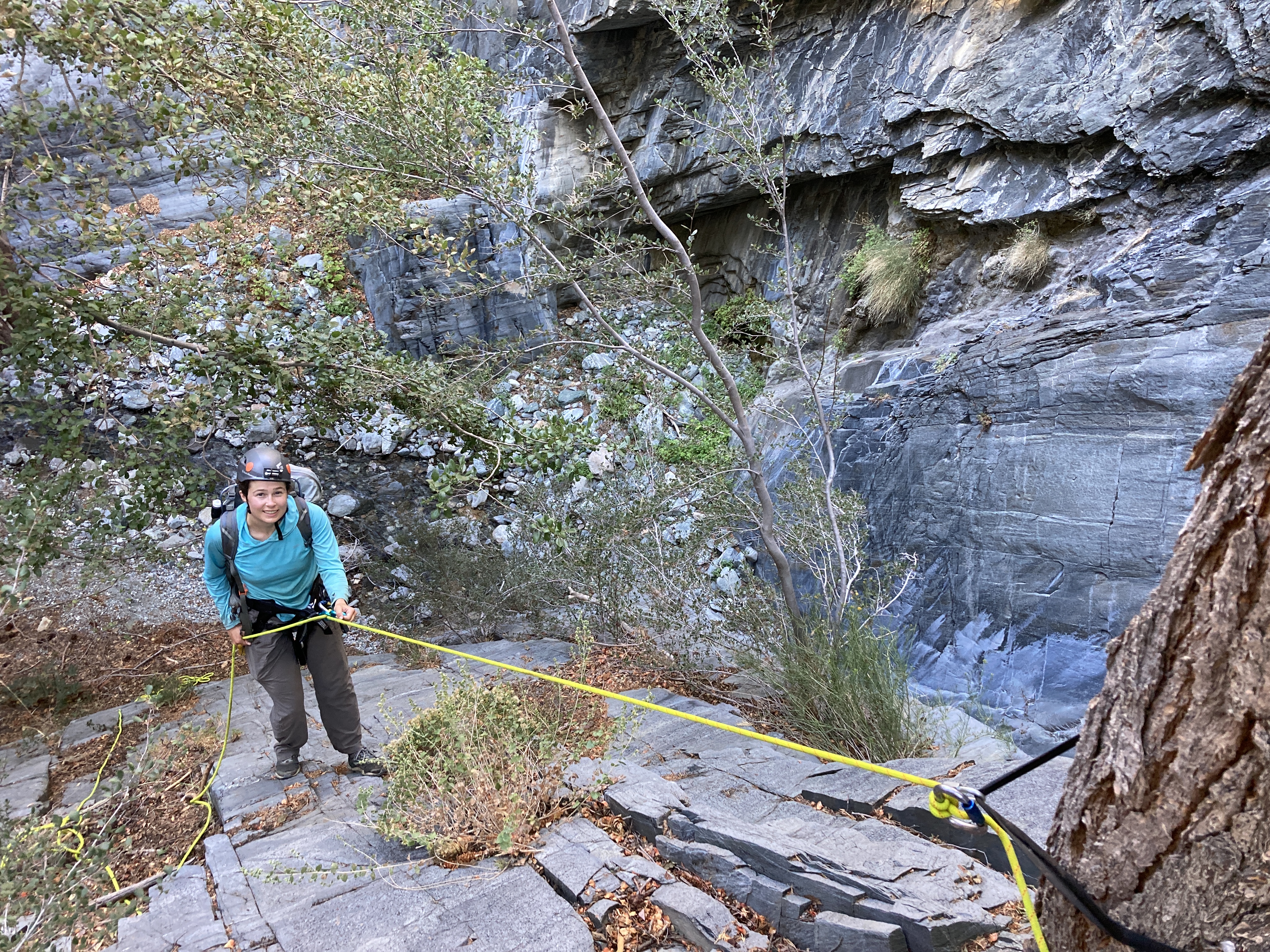
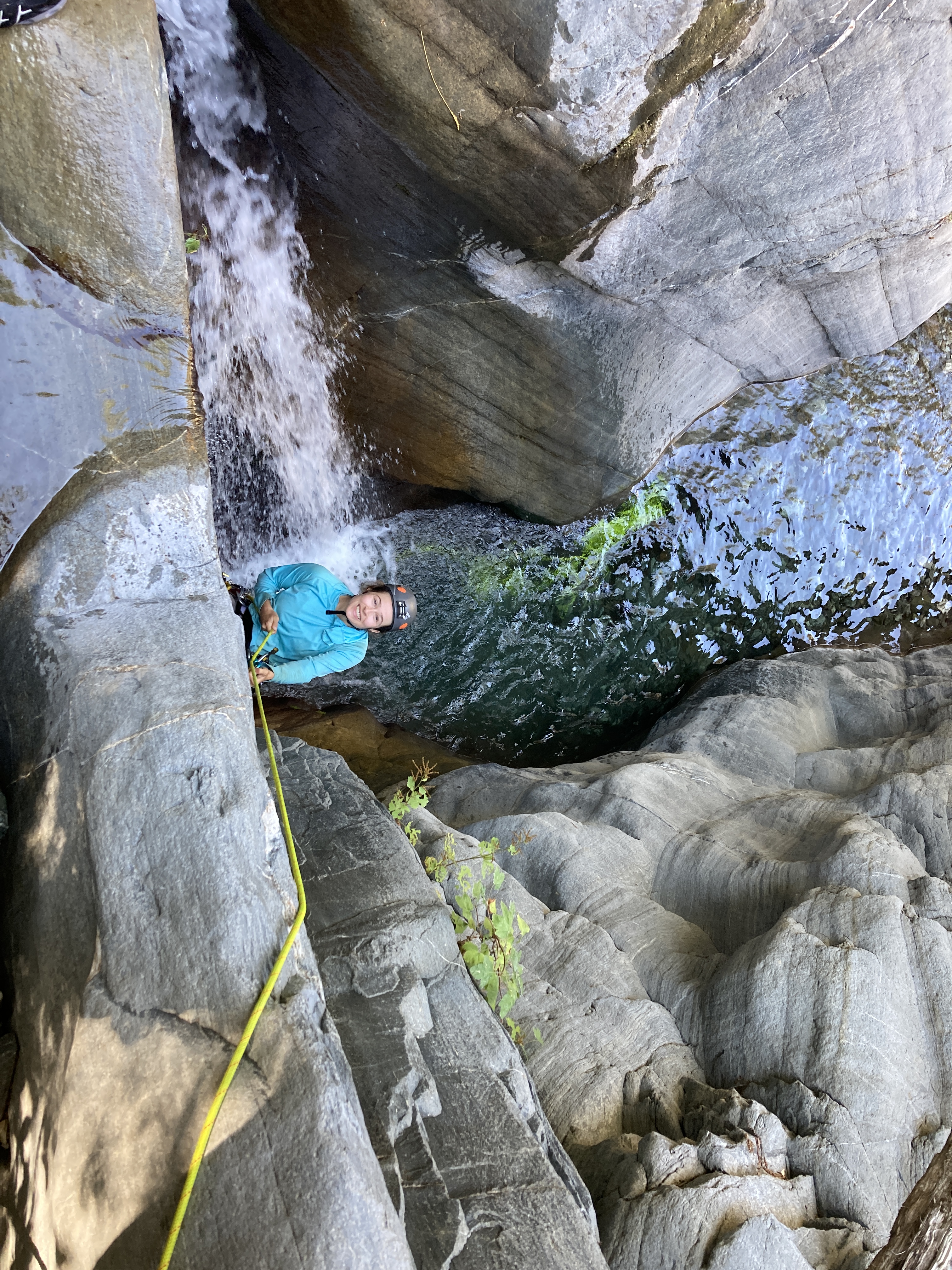
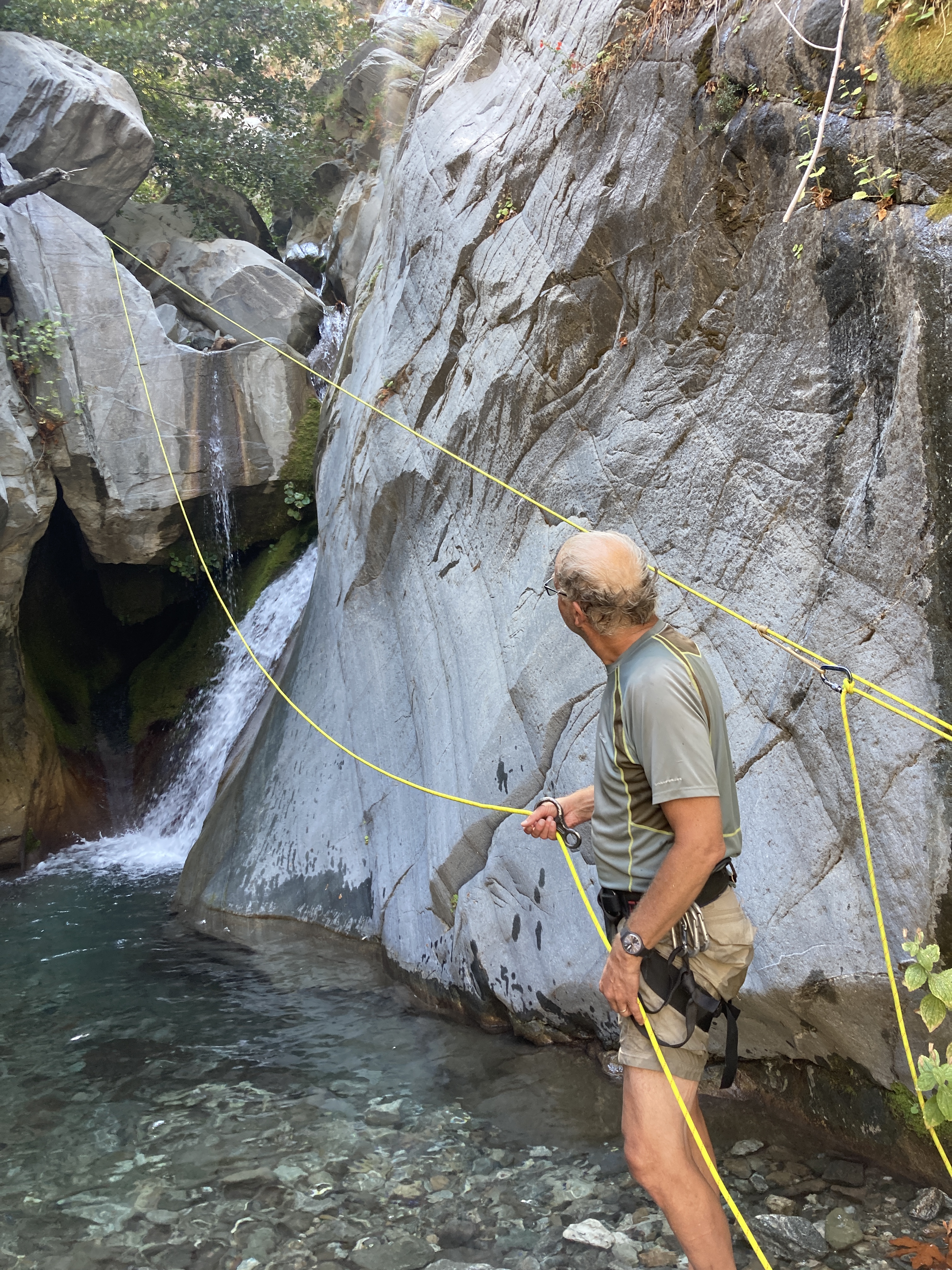
We finally came to the first of what would be 10 rappels total over the 3 days. The second wasn’t much further and we decided to use a guided rappel. Helen had studied the system before the trip and it worked out perfectly. Any time we felt we couldn’t rappel without getting dumped into a pool below, we used this wonderfully designed system. Most importantly, it allowed our packs to stay dry. There is plenty of information online regarding how to set it up so I won’t go into detail. Helen was a total badass and set up all 5 of our guided rappels. She would rappel off one side of the rope with a beaner block at the top anchor. After thoroughly drenching herself at the bottom of every waterfall, she would find an anchor out of the water at the bottom and set up a pulley system that allowed the rope she repelled down to get very taught. My dad and I would lower our packs down that line and rappel off the other half of the rope while clipped to the taught line to avoid the water.
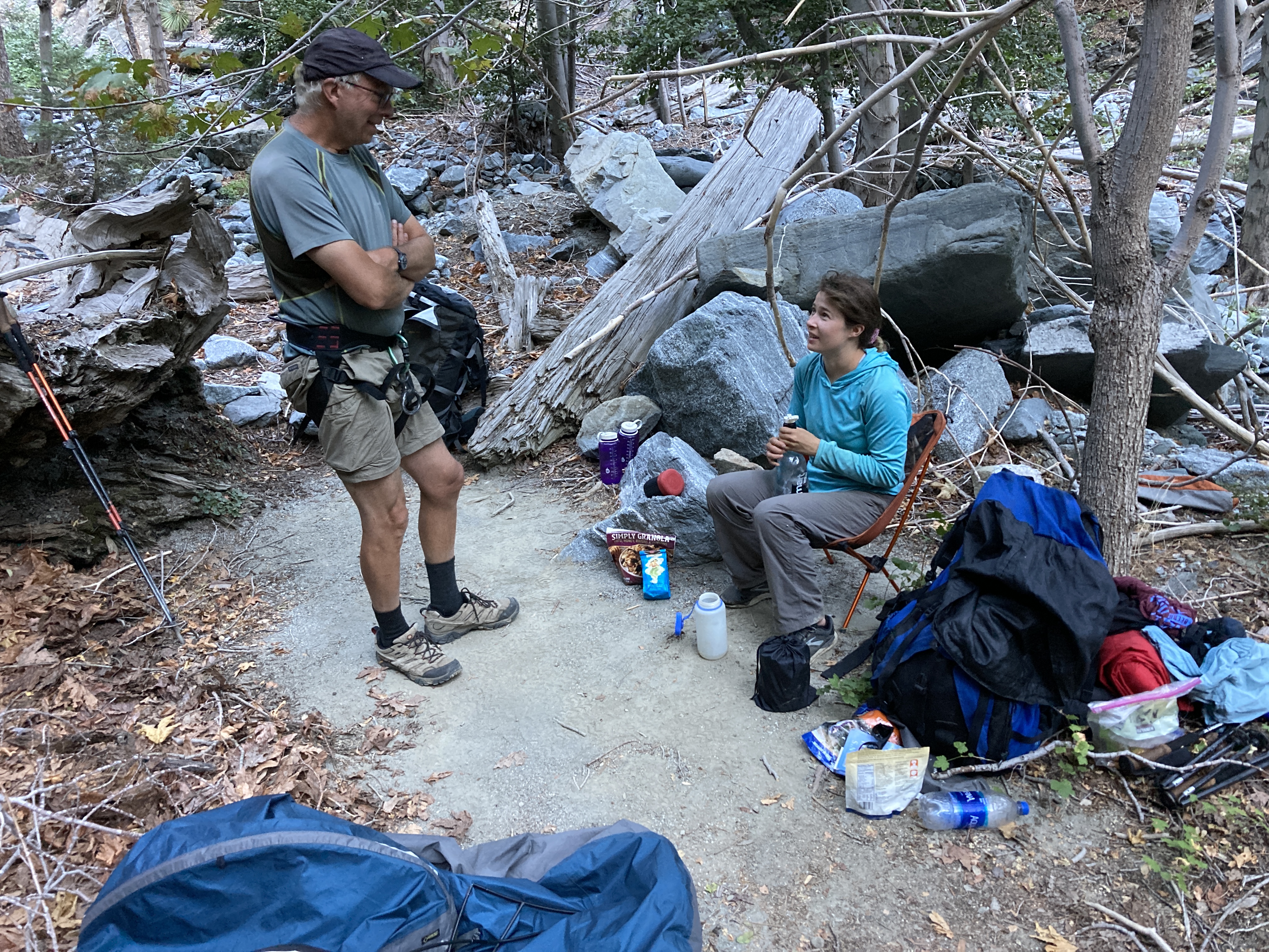
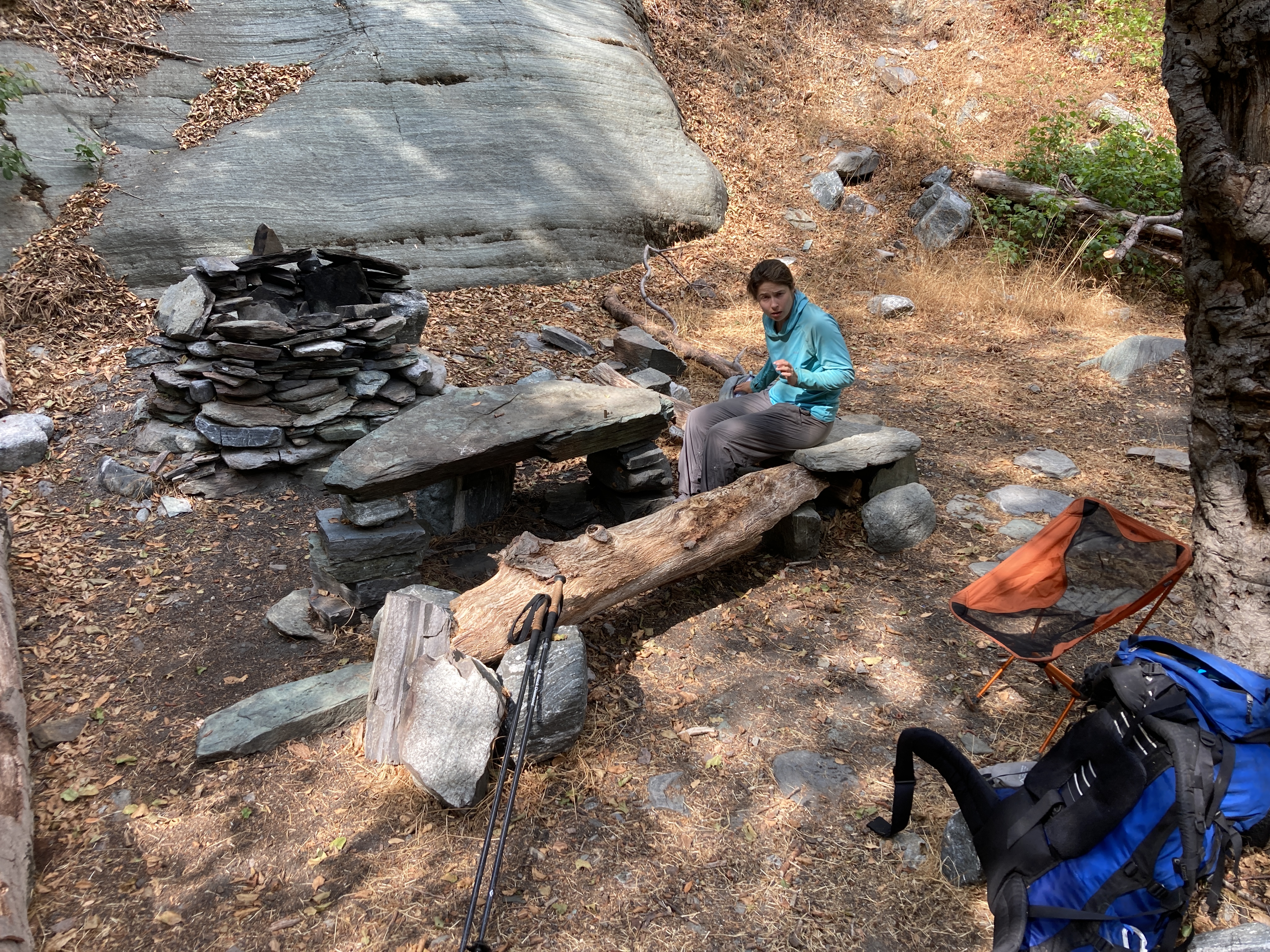
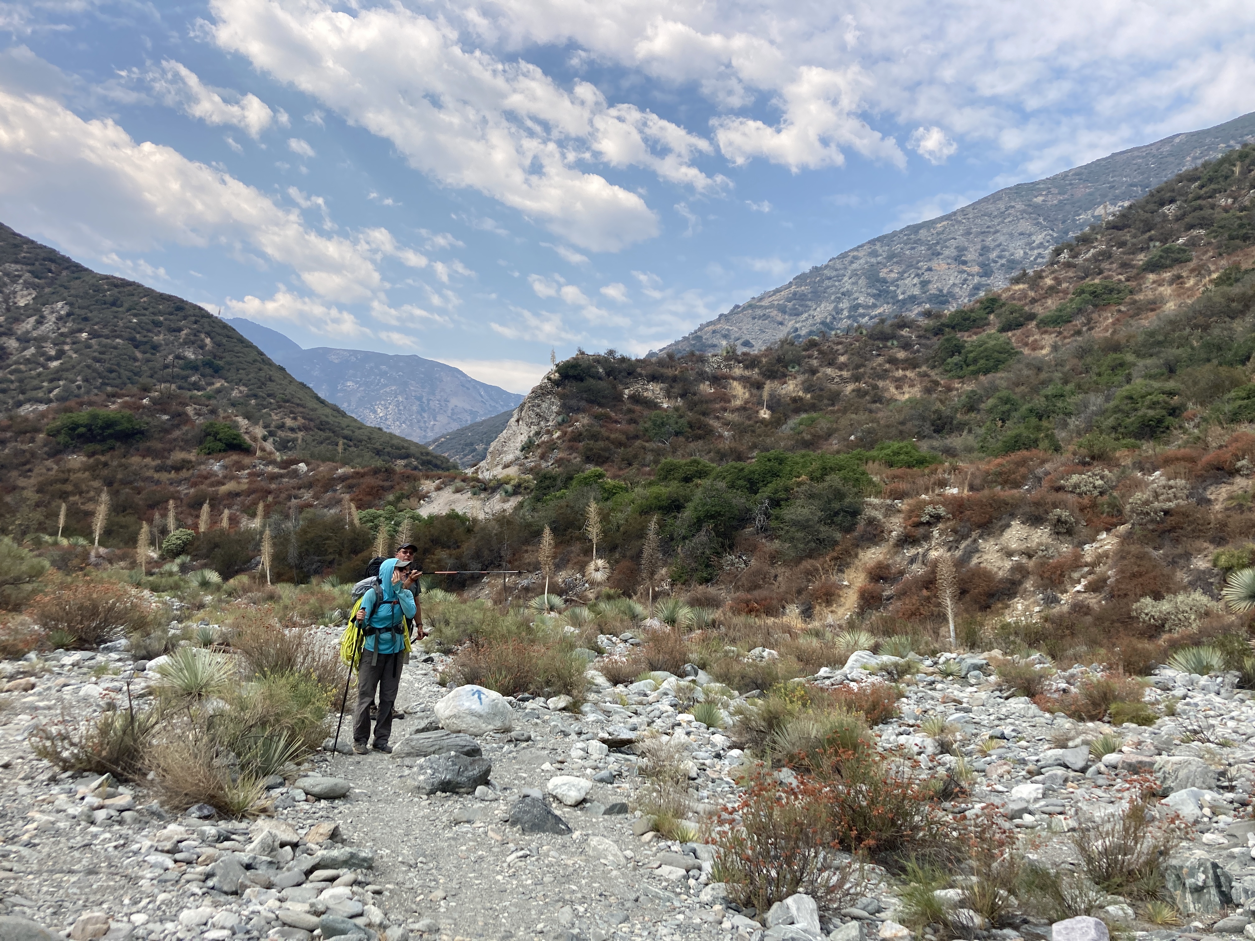
Our goal for the first night was to reach the area where most trips enter the canyon. This is where the Fish Fork and Little Fish Fork join together. It was getting dark and I knew we were in the general area so I quickly set down my pack to scout up ahead to look for anything better than what we had just found. After 5 minutes I couldn’t find the camp mentioned in many trip reports so we happily stayed in our surprisingly spacious space.
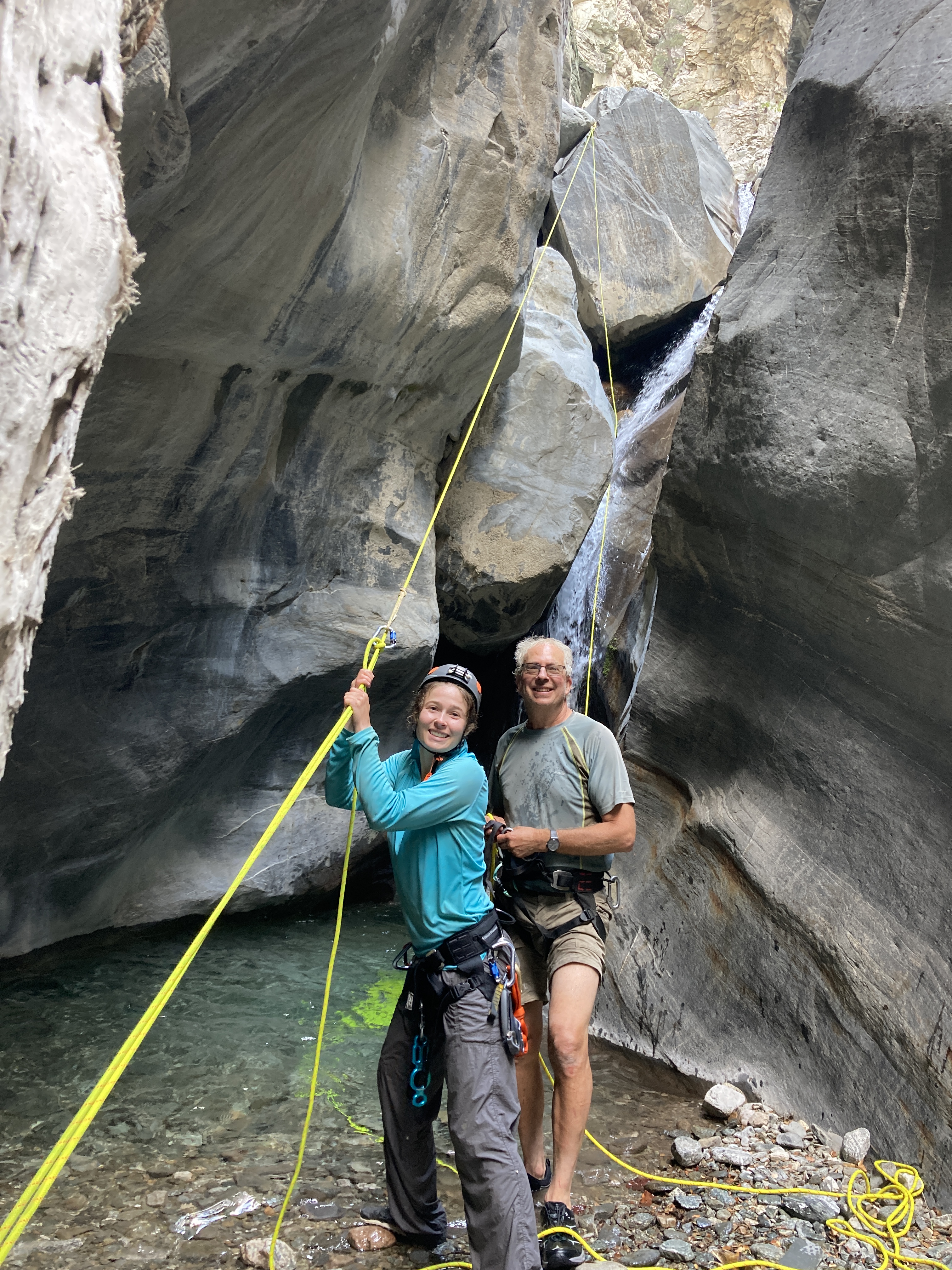
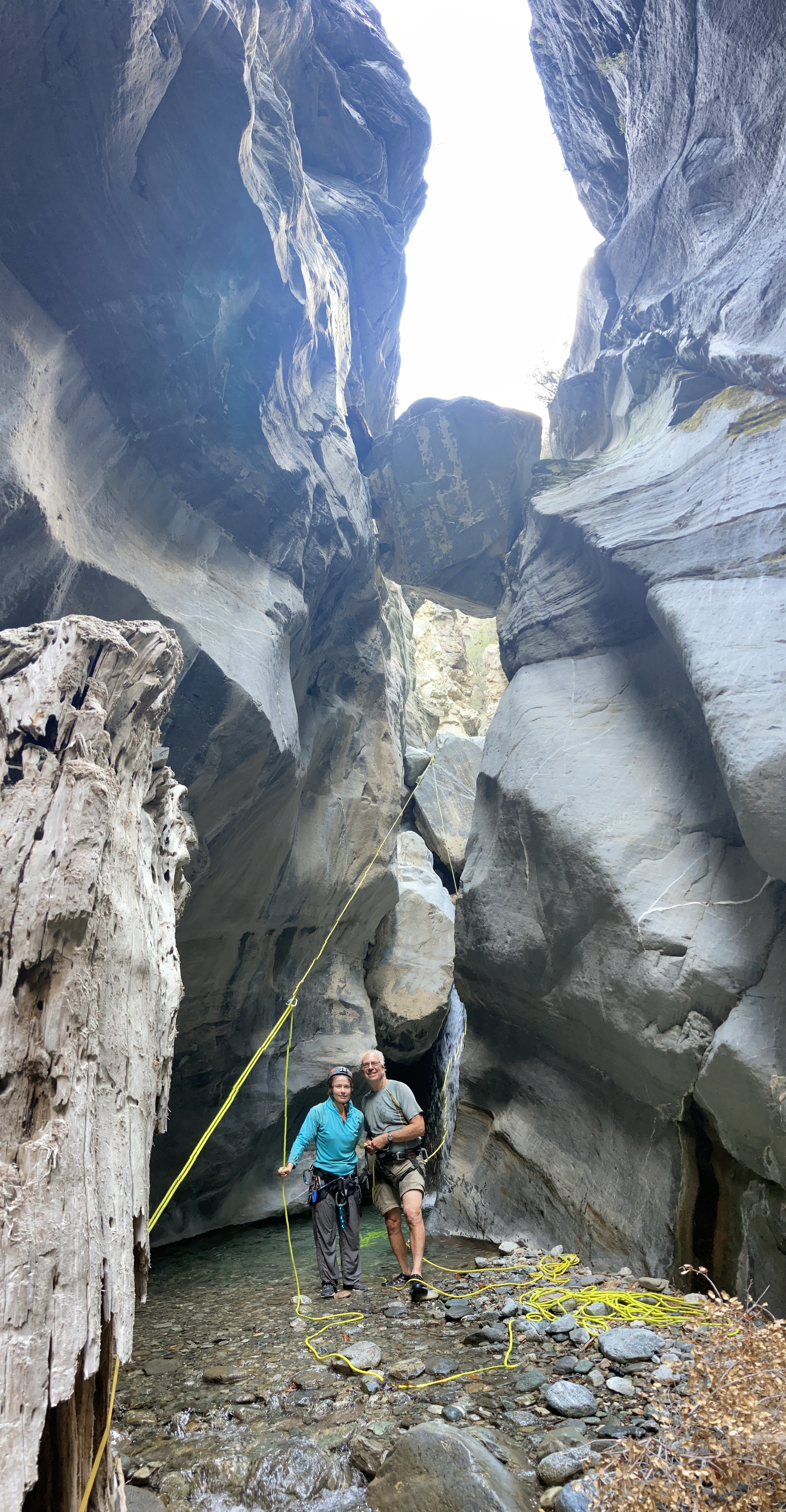
The next morning we awoke with another early start and began walking by 8. This was our full day on the river; man did it work us. After 2 dry rappels and a guided rappel, we came to the spectacular Chockstone Rappel. We had been anticipating this section of the canyon and it did not disappoint. As if it wasn’t amazing enough, there was a massive dead trunk of a tree at the bottom of the falls that stood with its roots up, a perfect spot for our lower anchor.
The rest of the afternoon we kept at it for a while and thought we had finished our rappels. We were likely the most remote people in the entire San Gabriel mountain range. While rounding a corner, the canyon opened up to a dramatic 80 foot waterfall. The name Bedrock Falls aptly fit this beautiful feature. We had about an hour of sun left and moved quickly down the massive falls and then one much smaller rappel directly after.

https://www.youtube.com/shorts/WQCLPiF6En0
https://www.youtube.com/shorts/WQCLPiF6En0
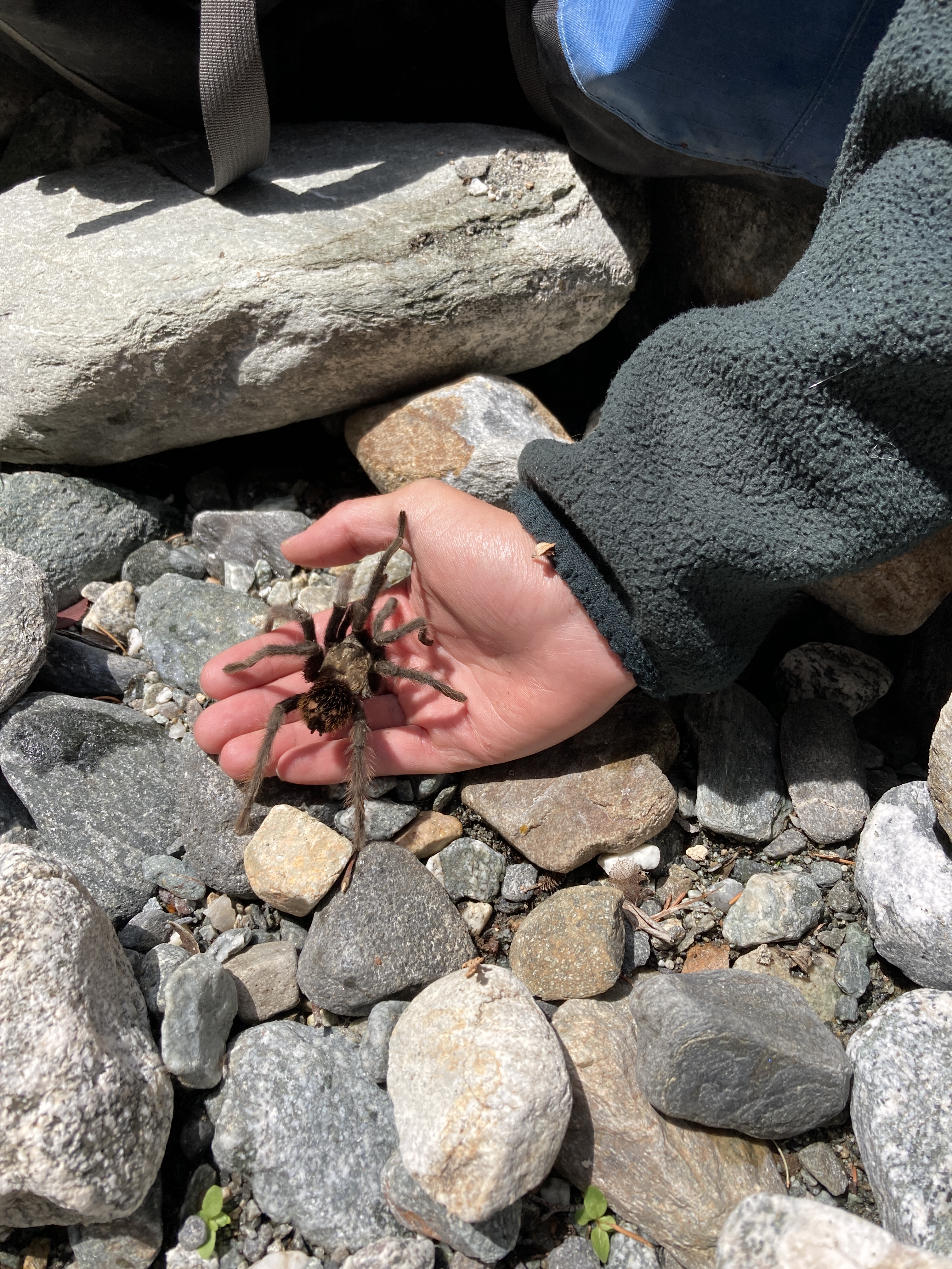
All three of us had bivy sacks so searching for sleeping spots wasn’t too difficult. As we were making dinner we noticed a tarantula crawling our way. We had seen one earlier in the day that was floating down the river. This nighttime neighbor made me feel a bit less comfortable as I was sleeping with my bivy sac open to keep cool.
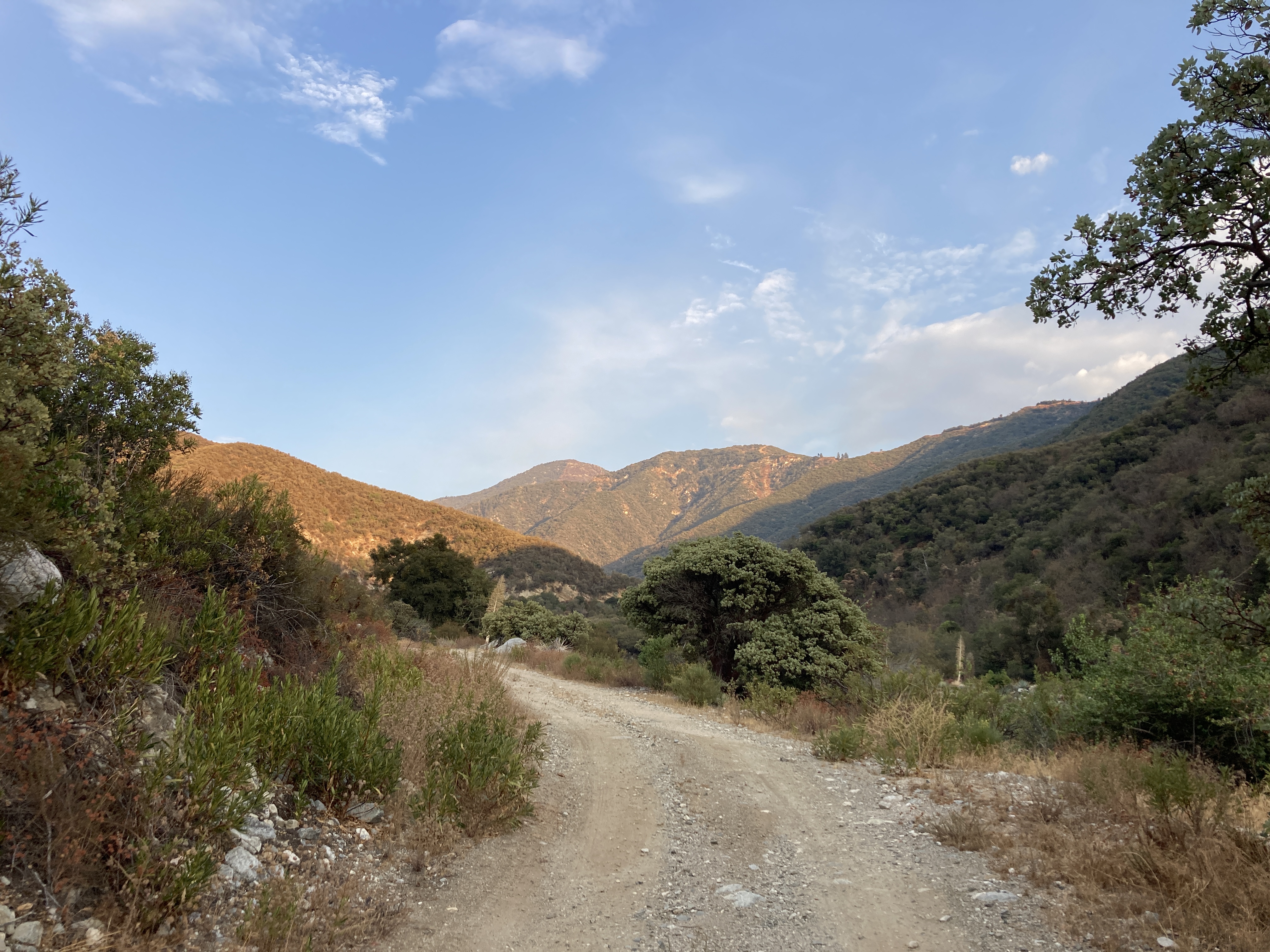
Day 3 and another morning of early rising. This time we got moving by 7 after several rounds of coffee from my AeroPress. After 2 very full days of moving from sunrise till sundown, we were wearing down and motivated to push hard for this last day to get back to the car. It began rather excitedly with 2 rappels before 8am! By 11 we had finally made it to the confluence with the East Fork San Gabriel River! After traveling the Fish Fork for roughly 8 miles and 4600 vertical feet, we had finally made it out.
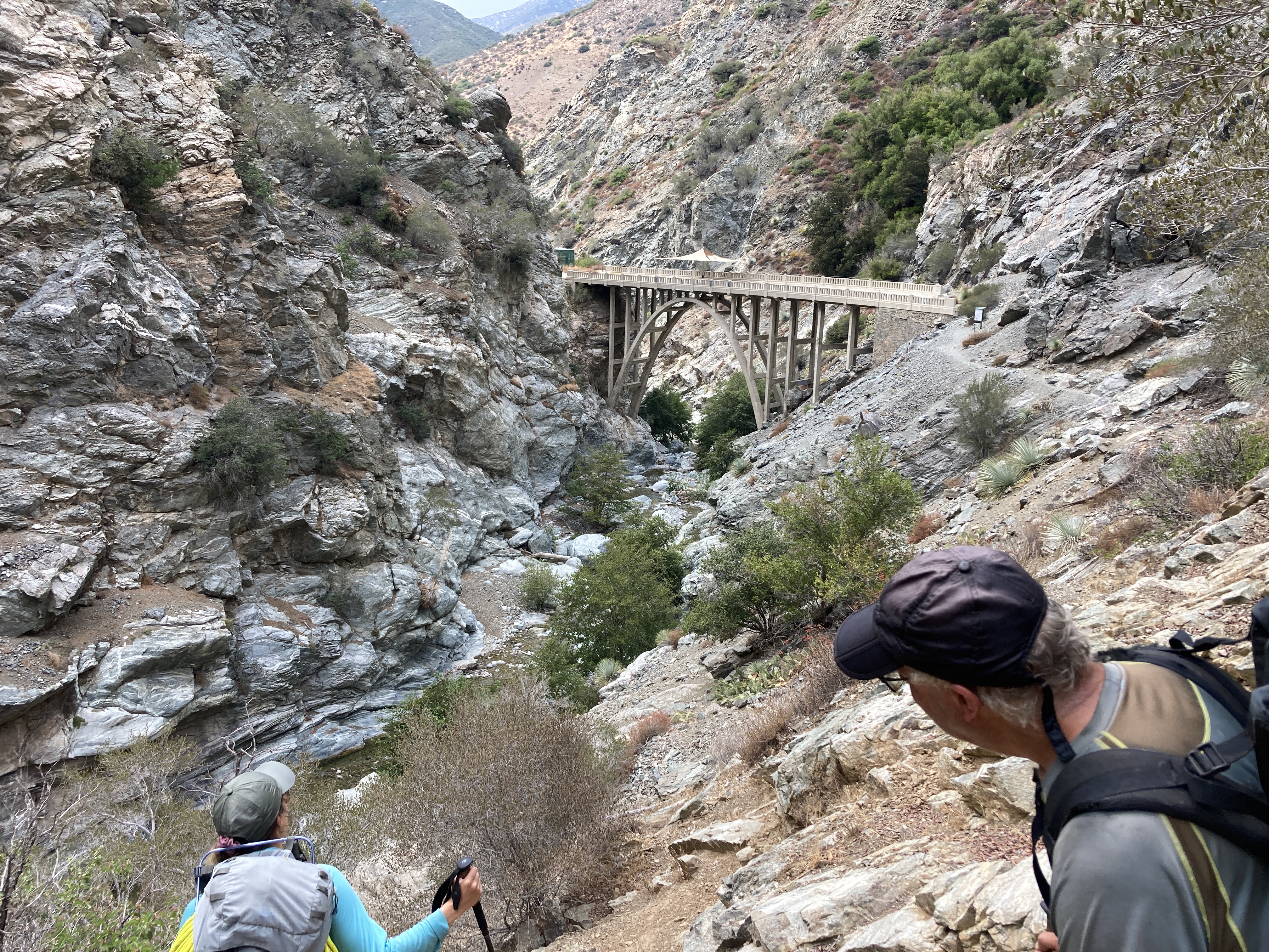
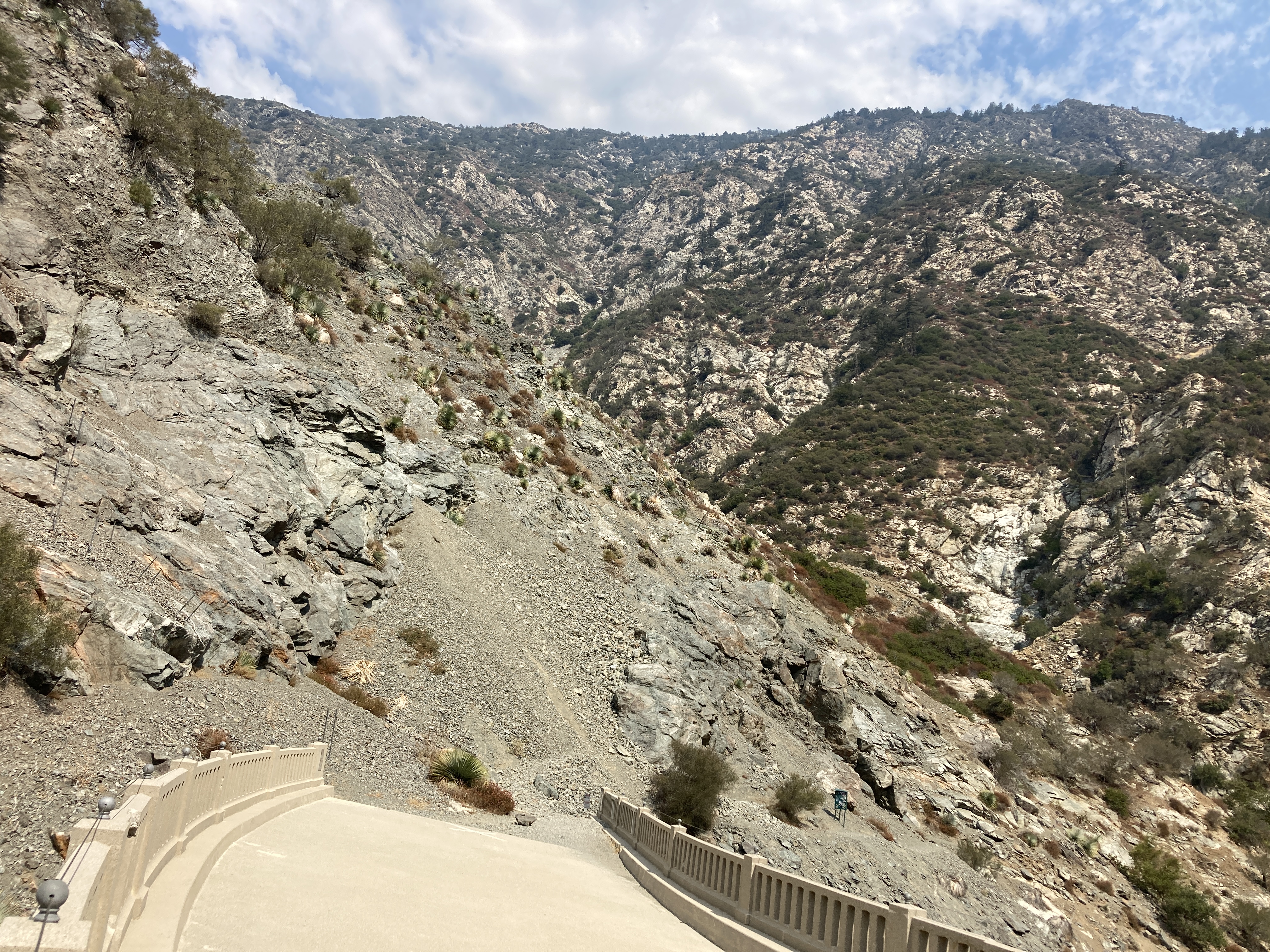
At this point, the traveling was generally a lot faster with the wider river giving way to areas of smooth bedrock. The trail eventually made itself easy to follow and we reached the Bridge to Nowhere, a strange sight in such a remote area and a reminder of the powerful forces of nature. The bridge was built in 1936 and just two years later a torrential winter storm washed away much of the roadway leading up to the bridge. The project was abandoned but the ambition of such a highway can still be seen today.

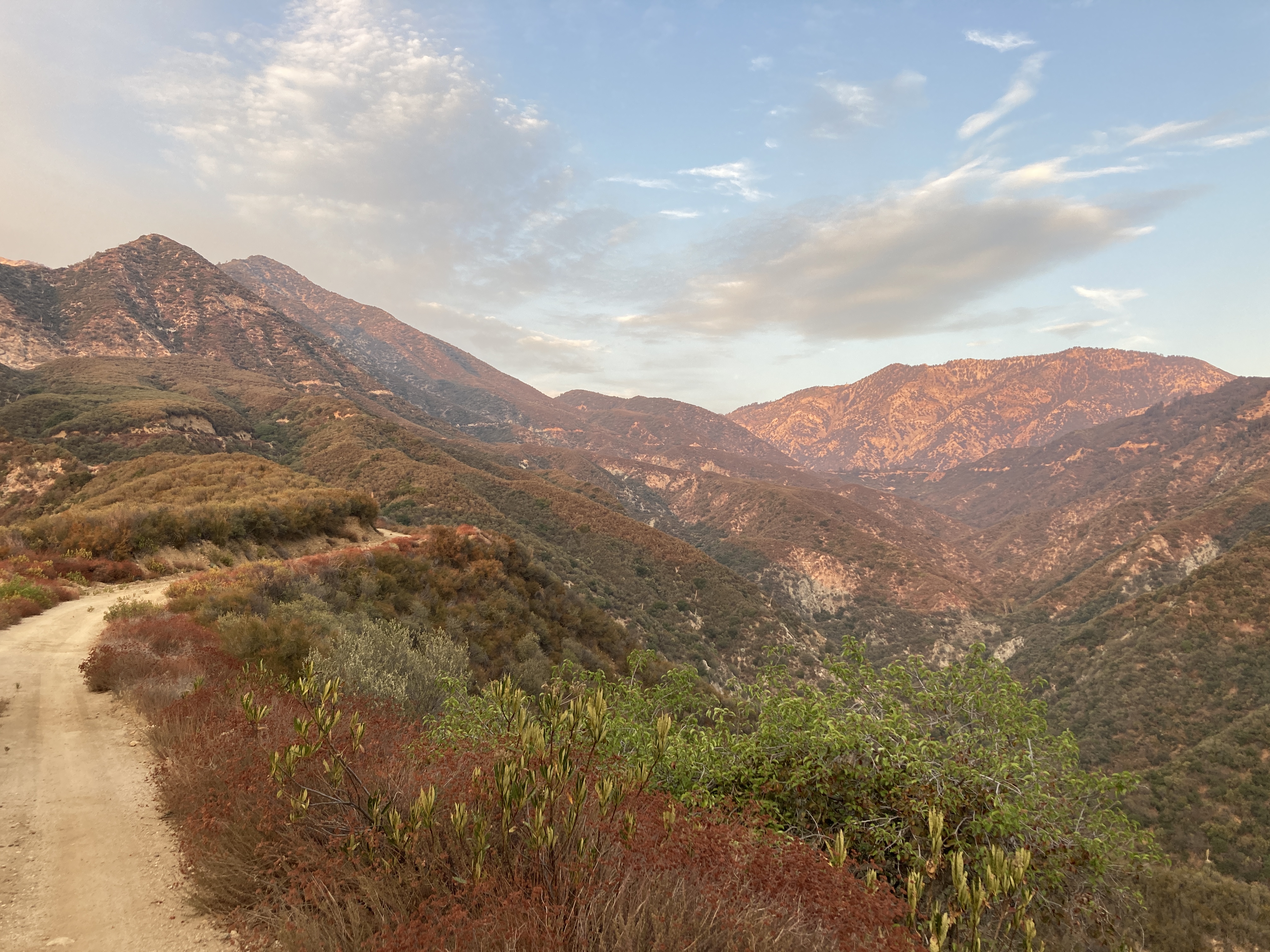
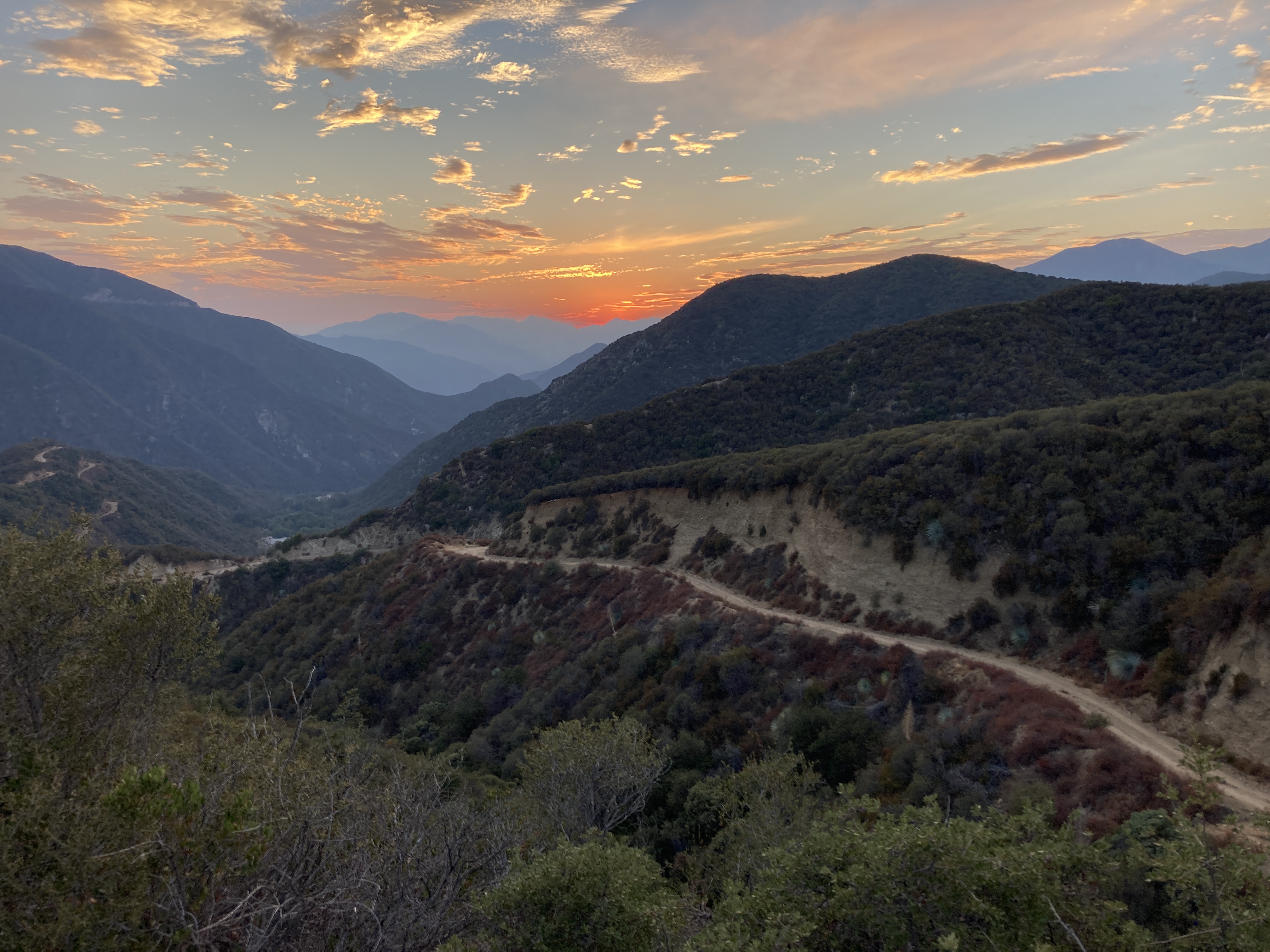
By this point in the day, we had reached nearly 2000 feet in elevation and the heat was relentless. The trail was flat and we cruised to the parking lot. Our long descent had ended but we still needed a car so I started to race the sunset and set off running up toward Mt. Baldy on a very beautiful and remote road up Coldwater Canyon, just 3/4th of a mile down from the Bridge to Nowhere trailhead. After 11 miles I was sufficiently tired and lucked out with hitching a ride once my dirt road intersected the Glendora Ridge Rd. What an awesome 3 days!
Some Things to Note
-We brought 300 feet of static rope but an 80 meter should be plenty long even for all the guided rappels.
-We also brought 100 feet of anchor webbing but 50 feet should be adequate. Extending the anchor to the fall lip can really assist with the guided rappels.
– The final dirt road I ran on to finish the trip had one short section (Thompson Ranch) that was marked as private property so if you don’t feel comfortable with “trespassing”, the long way around on Glendora Mountain Road adds another 10 miles or so.
-We were moving efficiently and it still took us 3 full days from sunrise till sundown
-Water shoes worked great and so did the guided rappels!
